|
Trekking in Patagonia |
Paris, El Calafate, Puerto Natales -
Torres del Paine NP -
Los Glaciares NP -
Buenos Aires
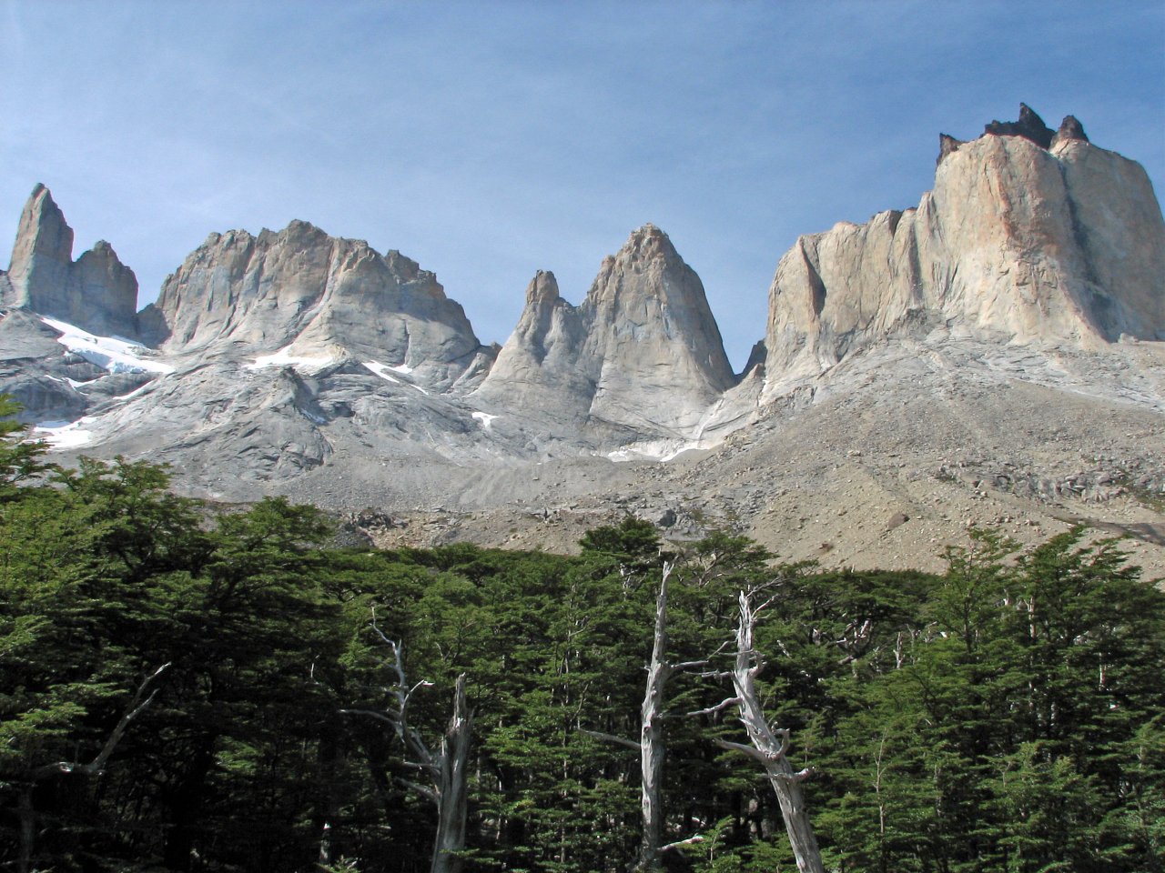
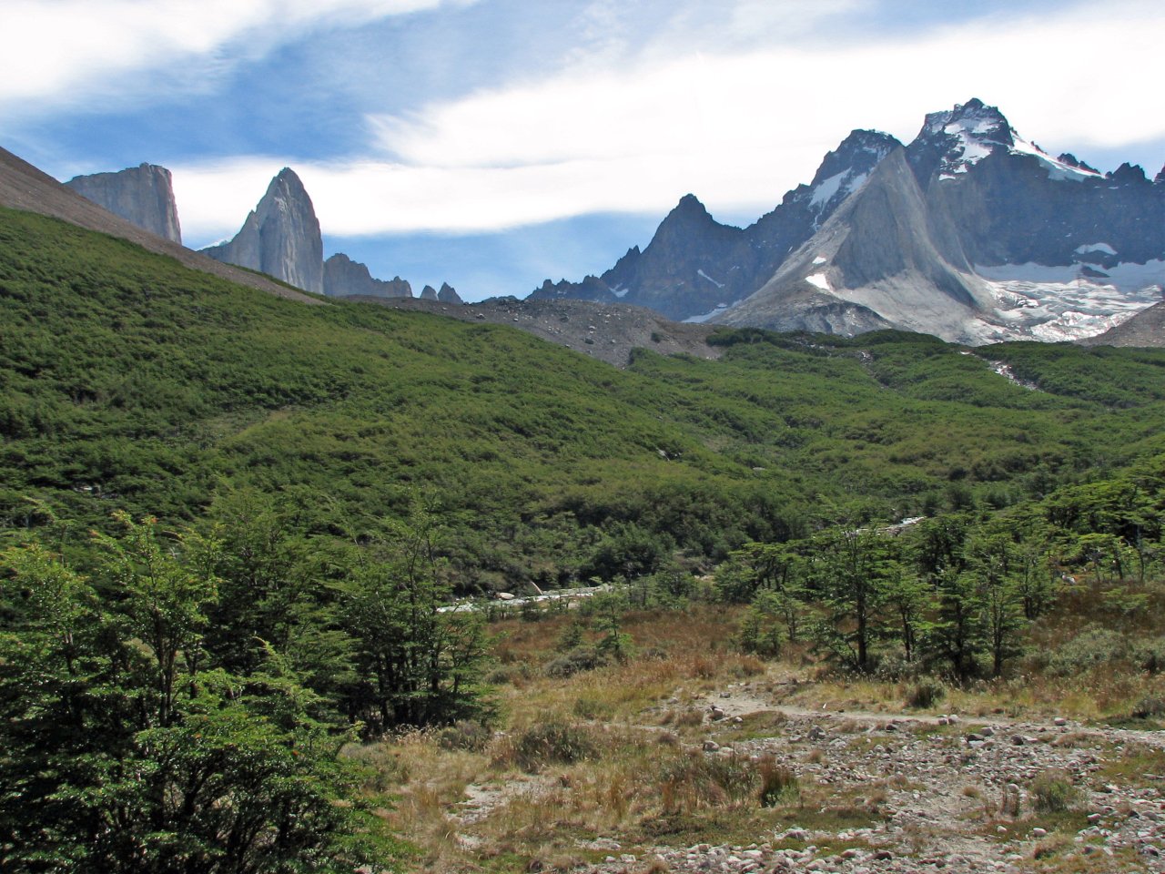
![]() Torres del Paine National Park
Torres del Paine National Park
|
Day 1 Refugio Laguna Amarga - Campamento Chileno |
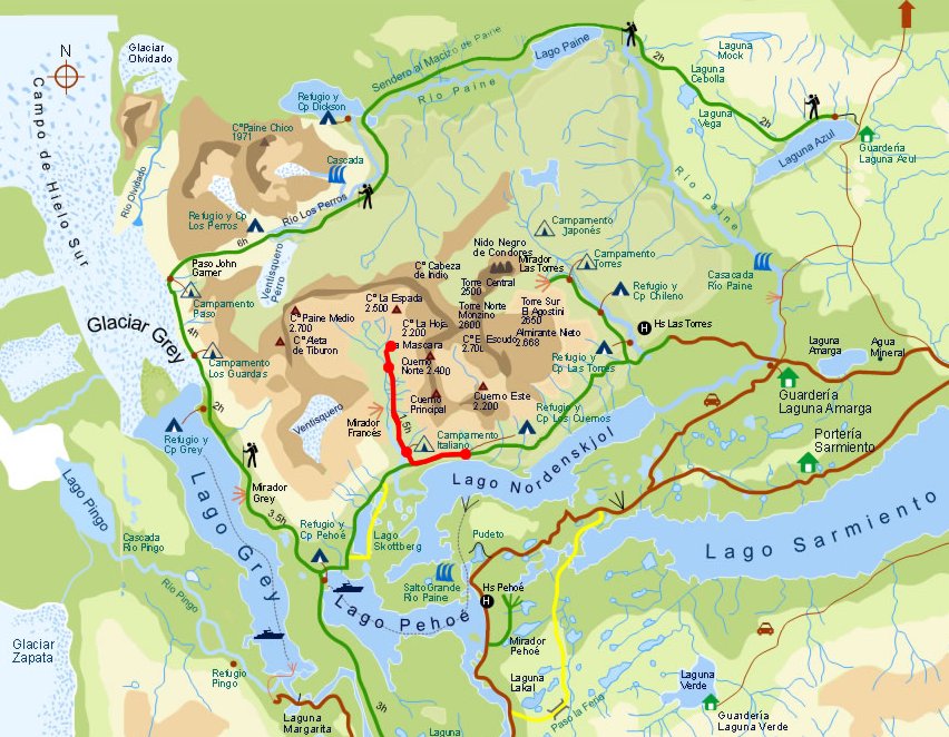
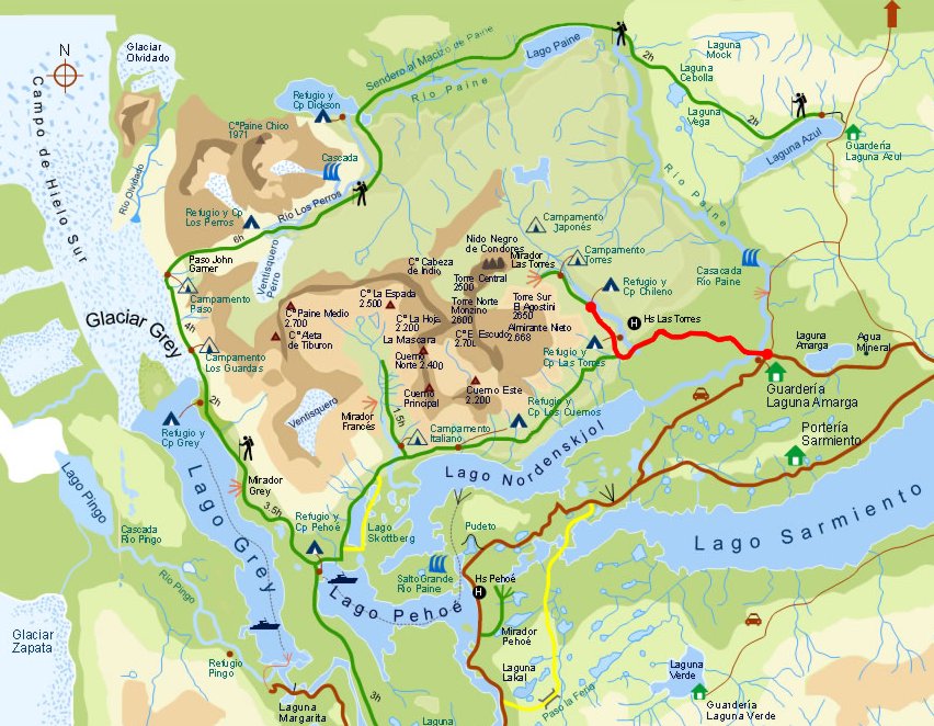 Daily map |
||
|
Trekking time: Trekking distance: |
4 hours 12 km |
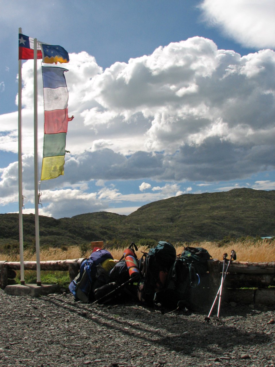
 Fully loaded backpacks
|
|
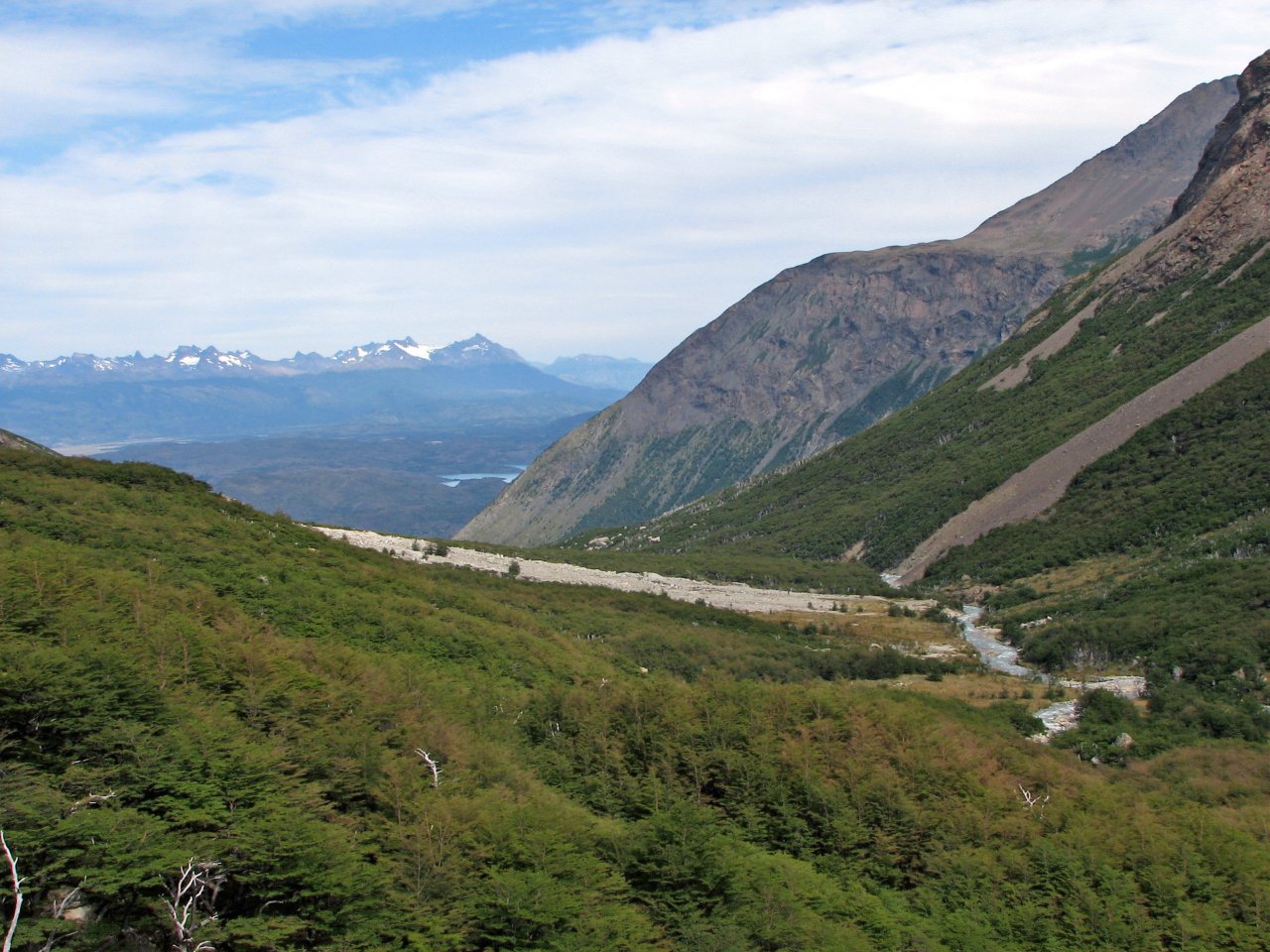
We carefully packed our backpacks for 7 days in the wild, leaving behind some nonessential items like travel and reserve cloths to minimize weight, and purchased supplies. We were planning on completing the "W" track in Torres del Paine, the shorter and more popular version of the complete circle. A bus will take us from Puerto Natales back up north to the entrance of Torres del Paine, and until evening we had to walk the distance to the first camp site, Campamento Chileno.
 |
 |
 |
 |
 |
| All packed up and ready to go |
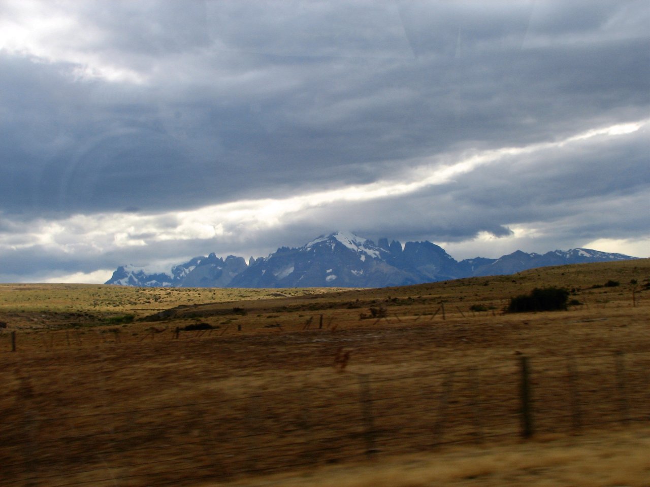
The first view of Torres from a bus |
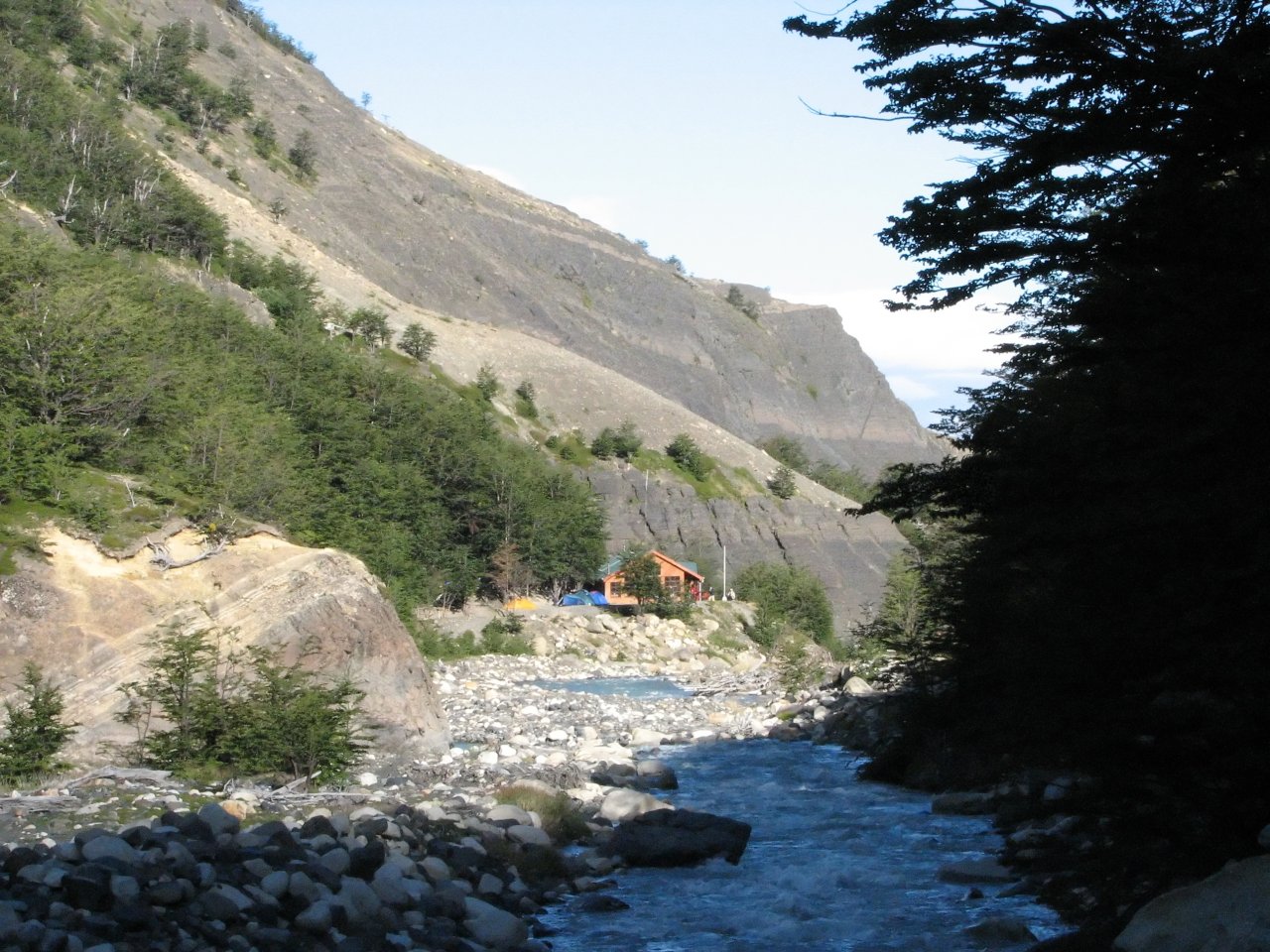
Trekking finally begins! Starting in the afternoon, we walk for 4 hours from the entry point at Refugio Laguna Amarga to the first camp site, Campamento Chileno. |
||
 |
 |
 |
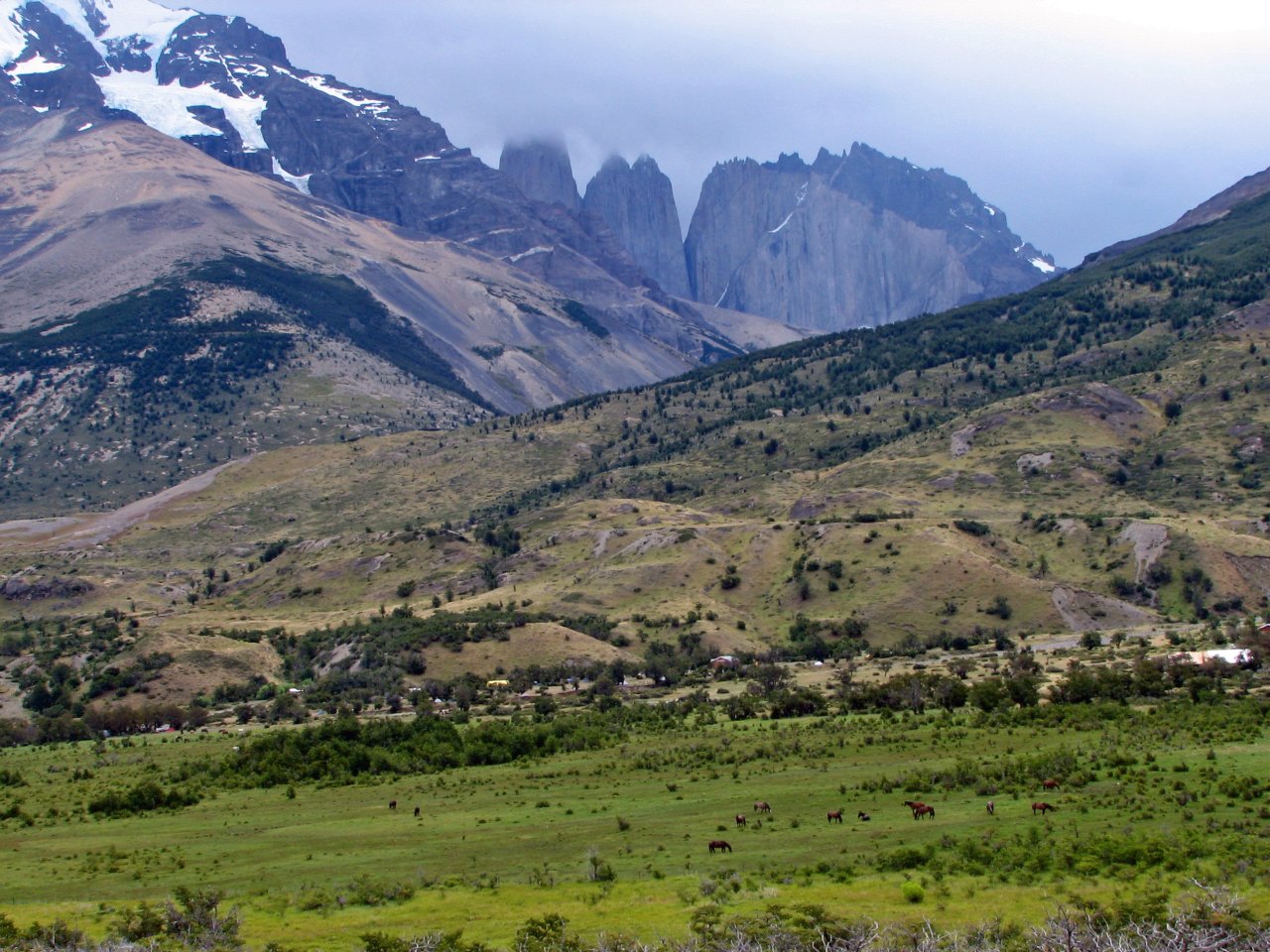
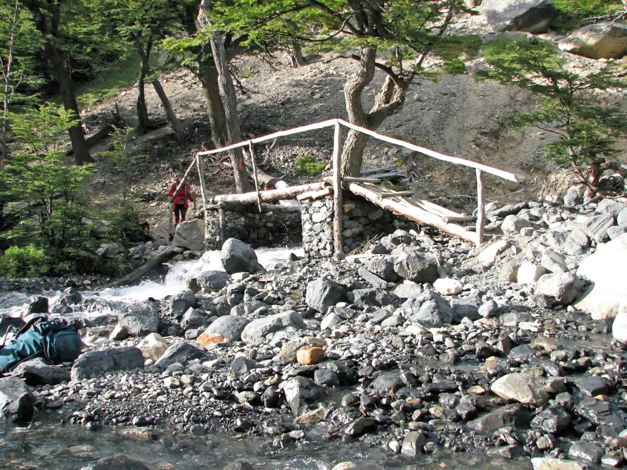
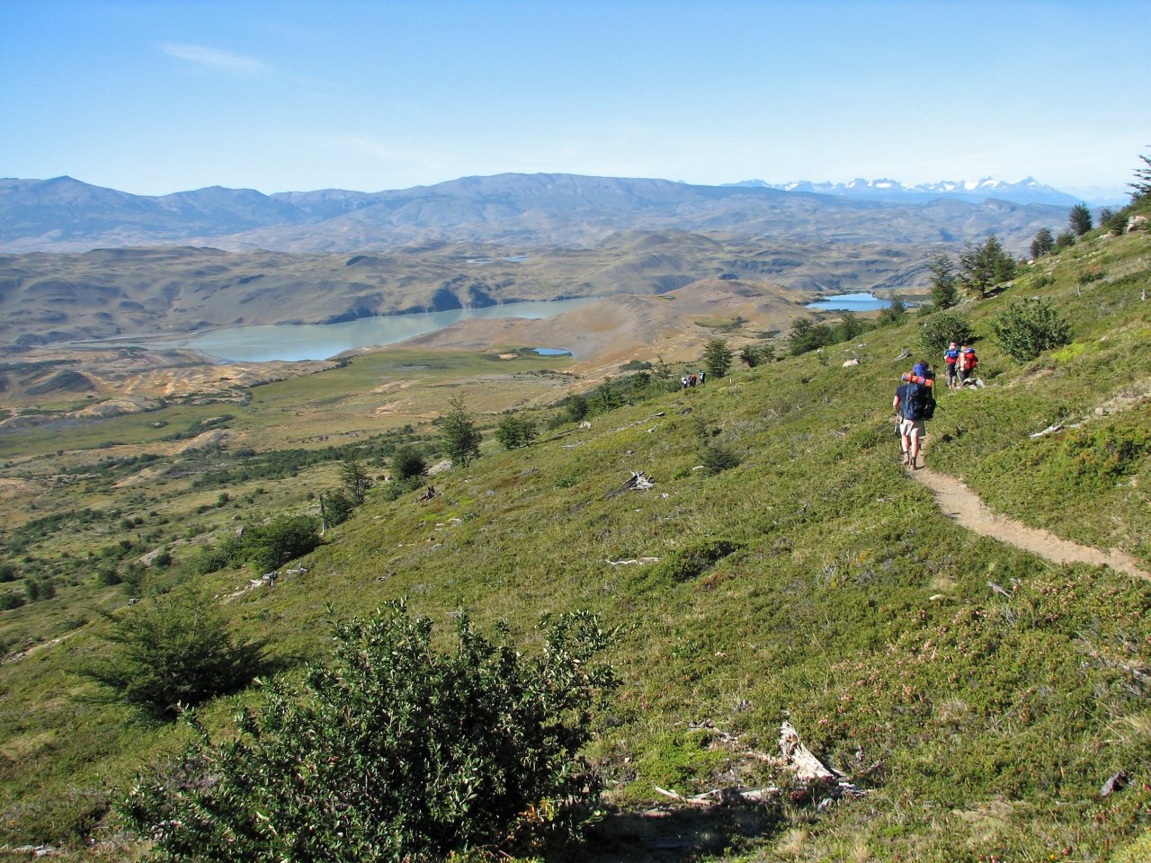
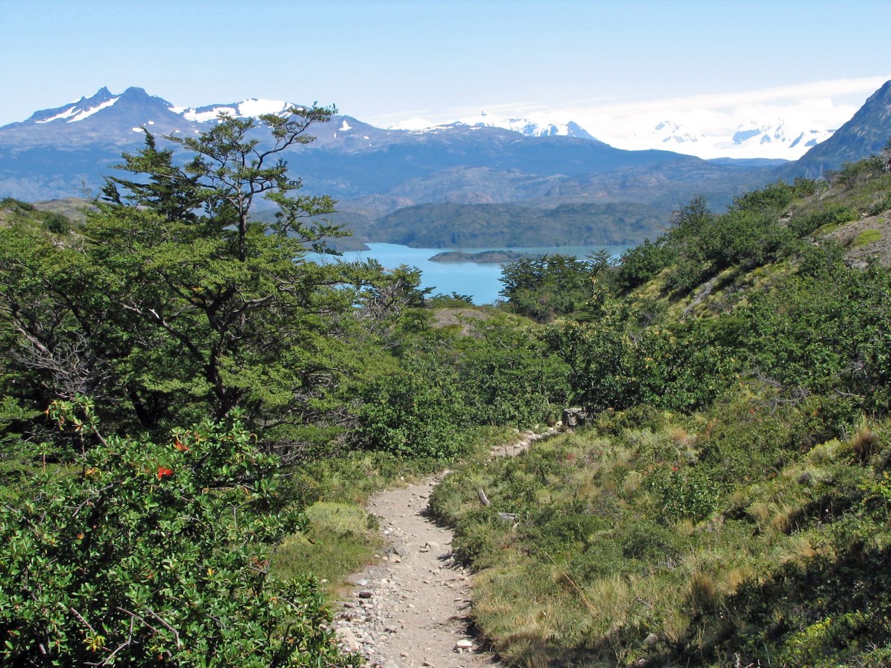
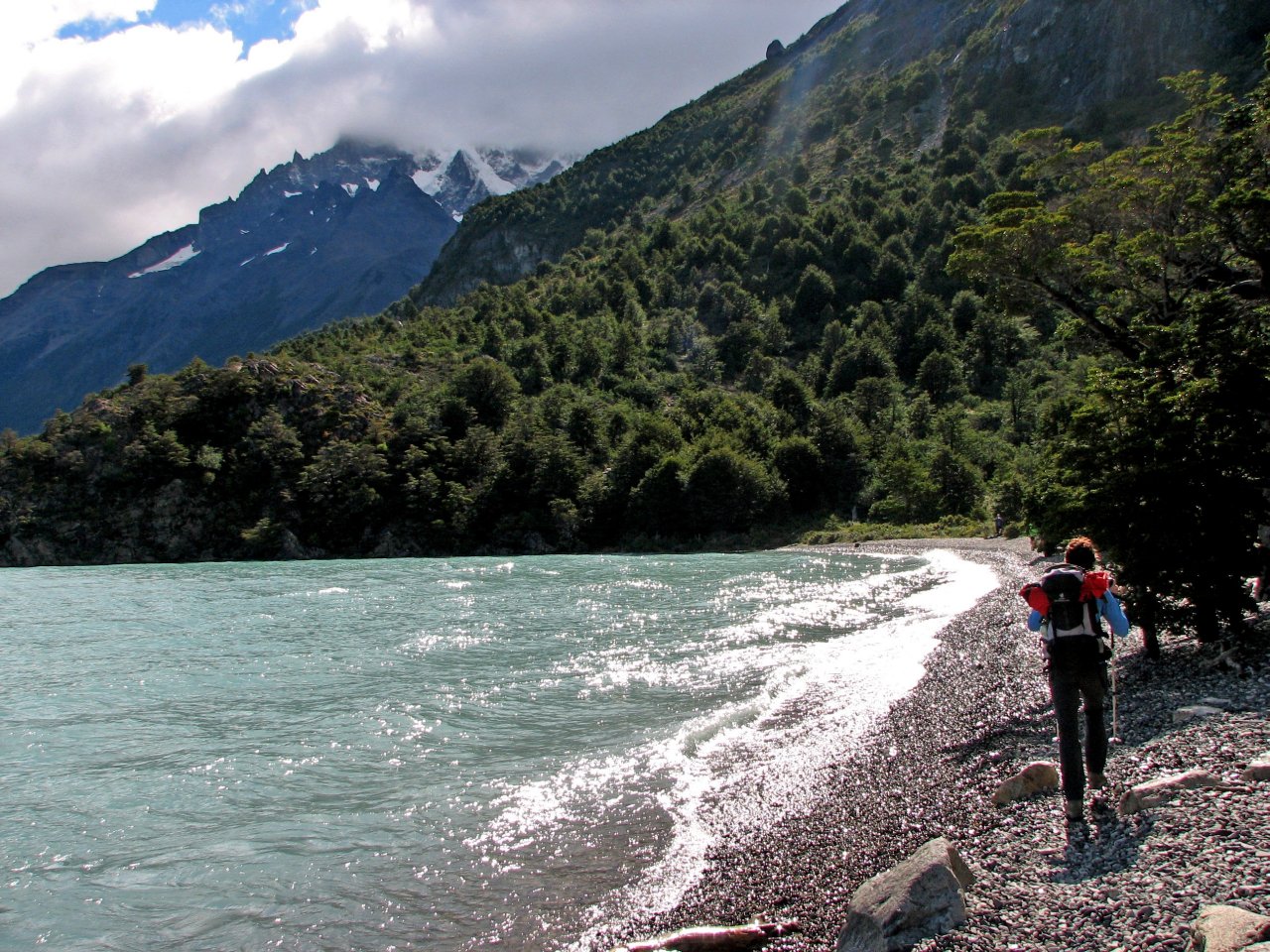
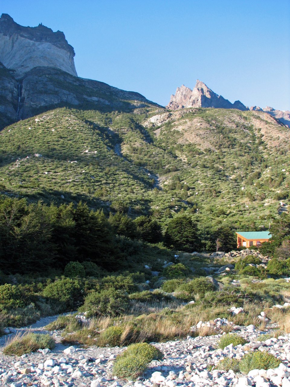
| We are passing Hosteria las Torres, and proceeding into the valley ahead, Valle Ascencio |
At last, the roof of Campamento Chileno visible by the river |
Tents go up for the first time in our first camp. |
|
Day 2 Campamento Chileno - Campamento Torres - Torres mirador - Campamento Japones - Valle del Silencio - Campamento Chileno |
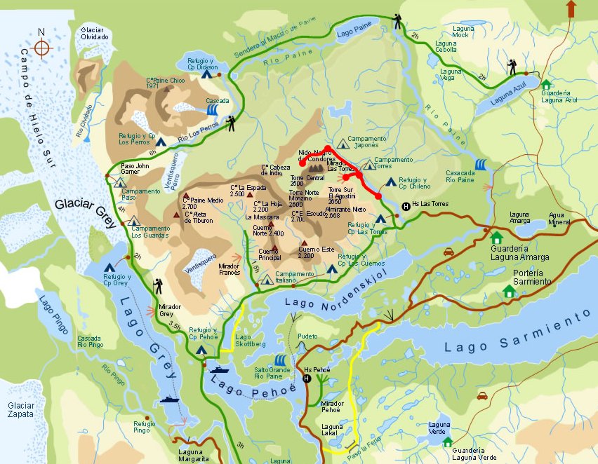 Daily map |
||
|
Trekking time: Trekking distance: |
9 hours 19 km |
 Light backpacks
|
|
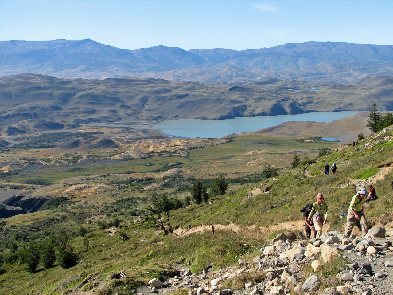
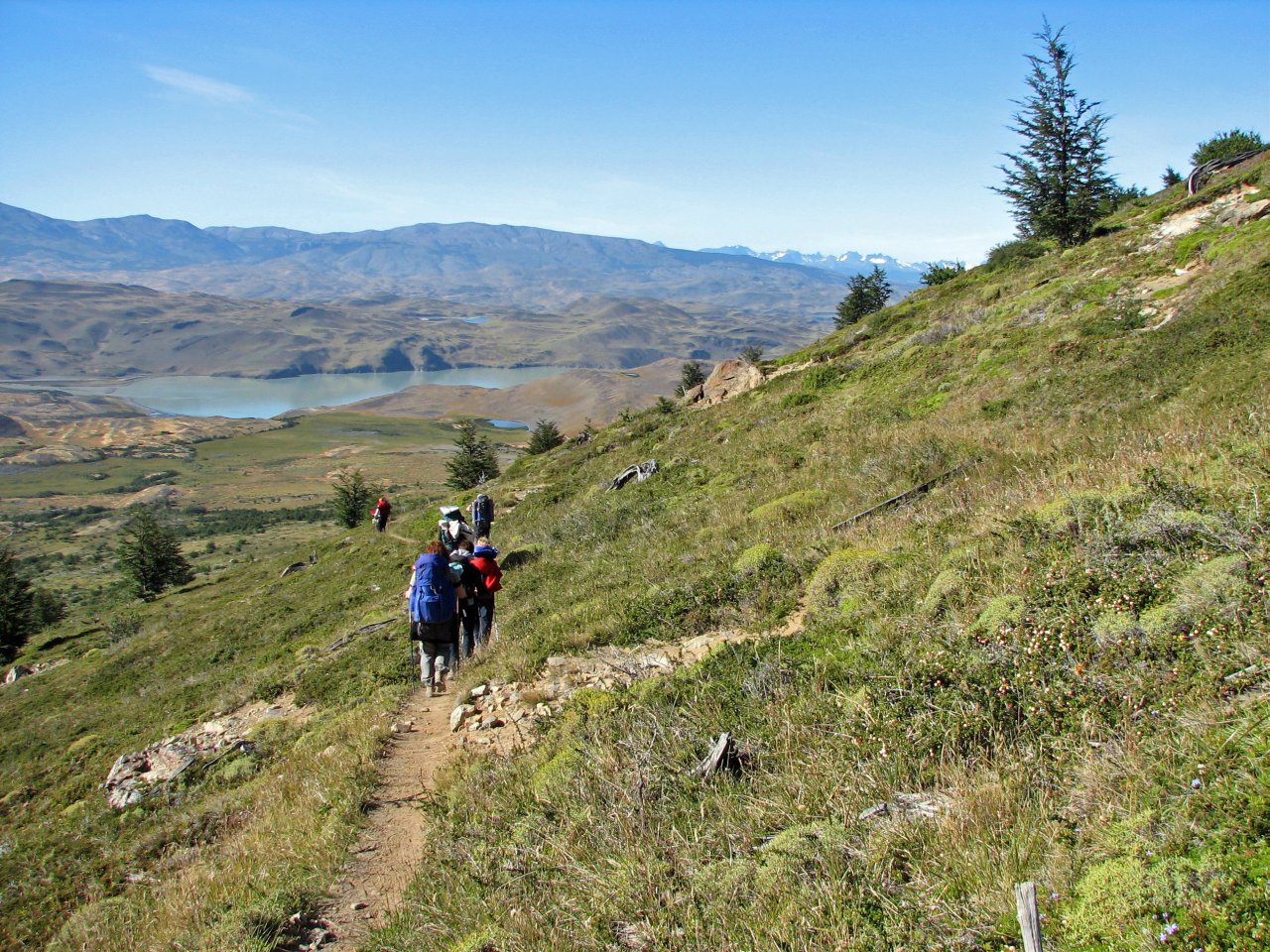
The second day in Torres del Paine was planned to be the most difficult one. The weather was exceptionally good, as we were after the most notorious viewpoint in the park, the view on the Torres themselves. Taking advantage of good conditions, we started early in the morning, postponing breakfast until we reach Torres.
 |
 |
 |
 |
 |
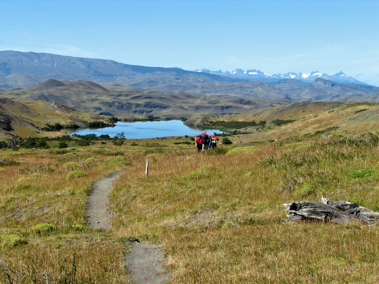
| For the first hour, the trail is fairly easy, going through the woods alongside river at the bottom of the valley, crossing occasional streams |
Reaching Campamento Torres, trail markings turn left and uphill, through the scree and rubble to the lookout point |
Looking back to the valley, gaining height |
||
 |
 |
 |
 |
 |
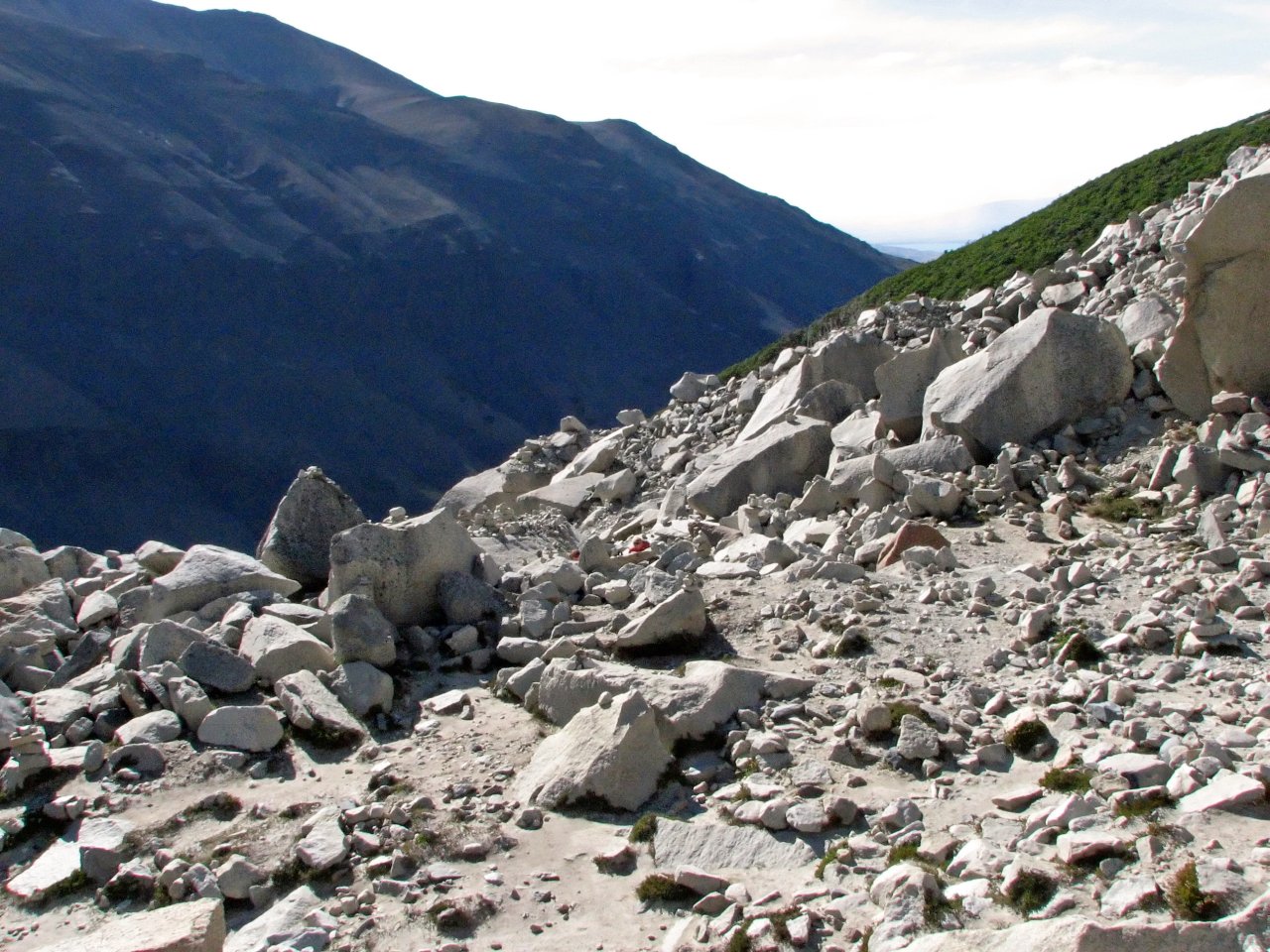
| The path is rather steep and difficult, climbing through rocks and boulders, markings often barely distinguishable... |
... but the view is getting better with every step |
After an hour of climbing rocks, the goal is in sight |
||
 |
 |
 |
 |
 |
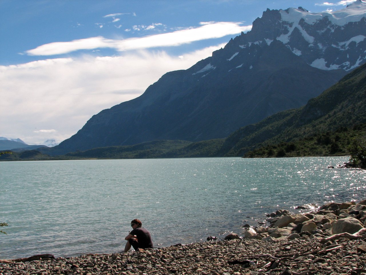
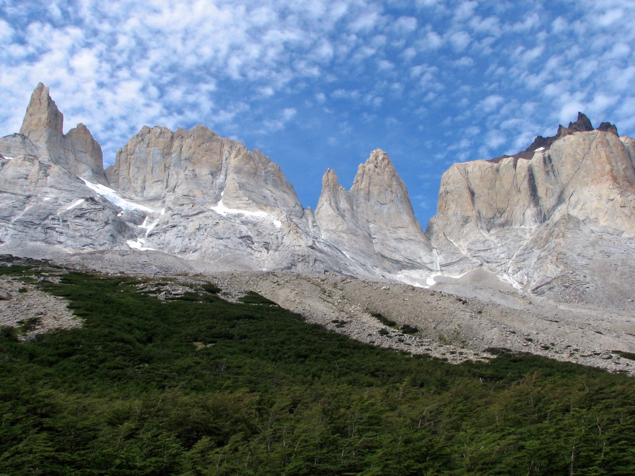
| And this is the reward! The famous Torres del Paine, raising above a small mountain lake, in a fantastic weather. It may be hard to tell, but the highest peak is a bit over 2000 meters above the lake |
Having breakfast with a view |
Returning down the same way to the river, we are to proceed left an up the valley towards Campamento Japanese |
||
 |
 |
 |
 |
 |
| Looking back up on Torres while descending |
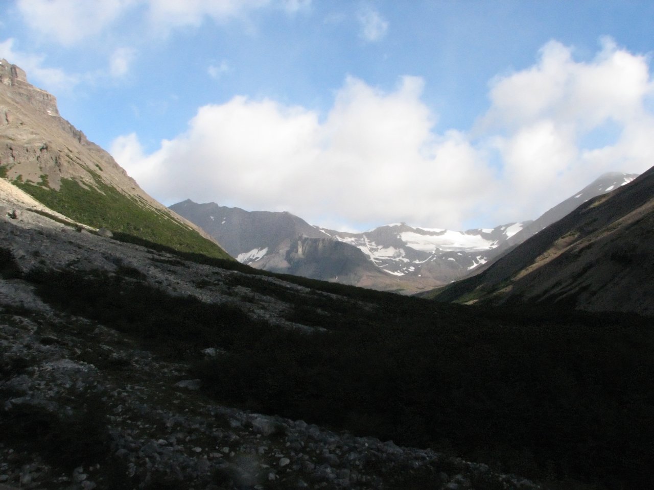
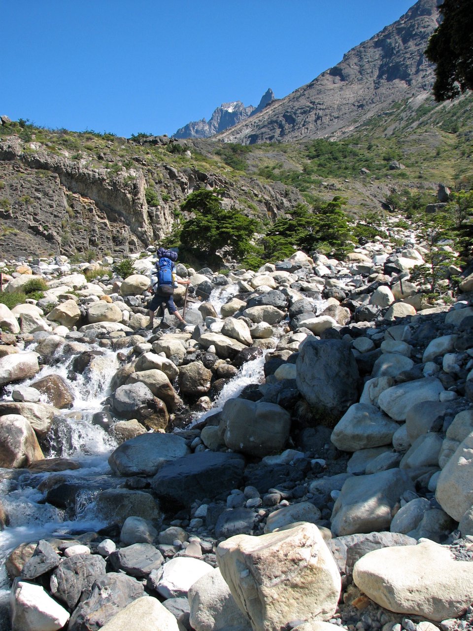
More streams and screes to cross | Going upstream Río Ascencio, with valley turning left to Valle del Silencio visible ahead |
Taking a break before Campamento Japanese |
|
 |
 |
 |
 |
 |
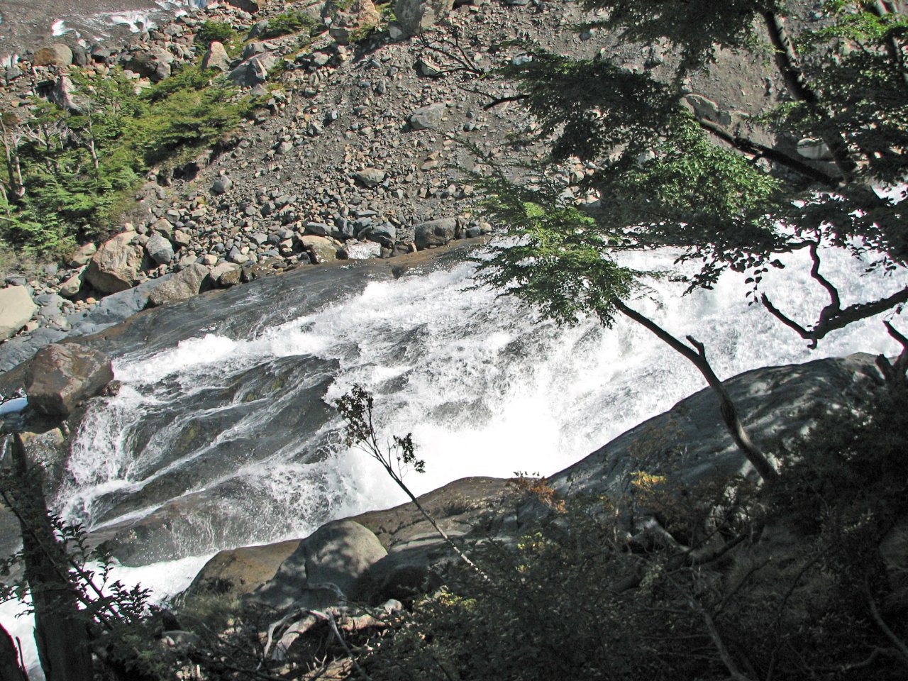
| Looking up the slopes encircling Valle Ascencio, waterfalls are a common sight |
Following Campamento Japones is another steep climb, first through a forest and slippery wet rock, followed by yet another rocky scree |
|||
 |
 |
 |
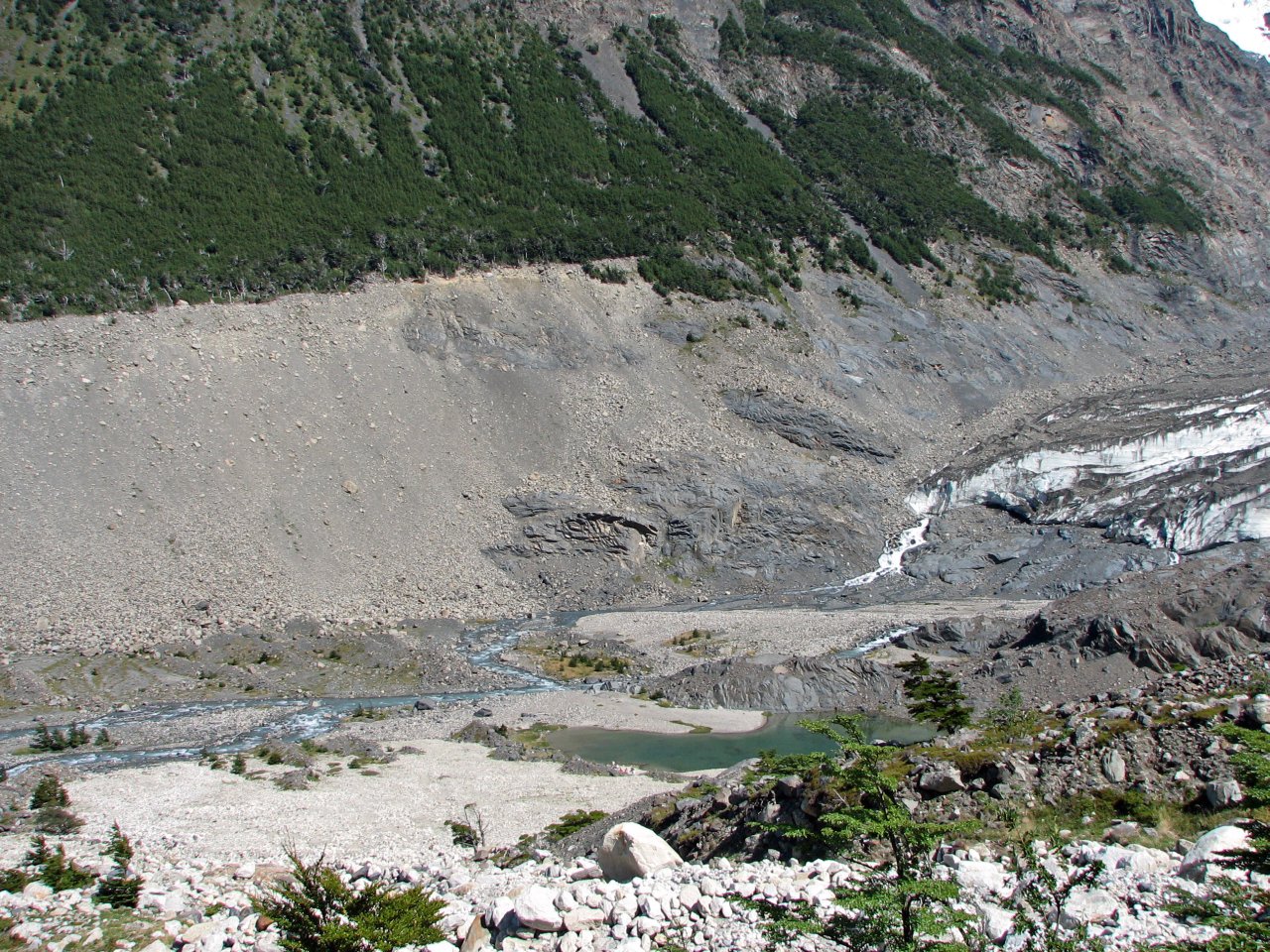
| Climbing on the last edge, facing Cerro Escudo |
A view from the top of Valle de Silencio back down to the valley |
Dark, shady walls rising above us |
From the top of Valle de Silencio we had started returning home to the Campamento Chileno, but we were quite a distance away. Tired already from long walking and some steep climbing, we spent one hour for the descent on slippery wet rocks to the bottom of the valley, and another two hours of fast paced trek along Valle Ascencio to our camp, awaiting hot dinner, and sleeping bags.
 |
| Exhausted after a long day, a welcome sight of the cabin and camp at Campamento Chileno |
|
Day 3 Campamento Chileno - Refugio los Cuernos |
 Daily map |
||
|
Trekking time: Trekking distance: |
6 hours 14 km |
Fully loaded backpacks
|
|
On the third day, we left Campamento Chileno and moved on to the next camp site, Refugio los Cuernos. While not the shortest in distance, and we were carrying full equipment, this section mostly runs flat and has probably the most beautiful nature experience in the park. Trail is going by many mountain streams and small lakes, in a nice, hot summer weather; we took our time for this one.
 |
 |
 |
 |
 |
| Leaving Valle Ascencio, the trail goes up the right side of the hill |
Looking back up the valley |
Trail splitting up, we came from the left the first day, now going right to Cuernos |
Hill climbing on our right side... |
|
 |
 |
 |
 |
 |
| ... and a beautiful view on the country below us | Path is taking us towards invitingly looking lakes |
Horses are used through the park to carry supplies to camps and refugios |
||
 |
 |
 |
 |
 |
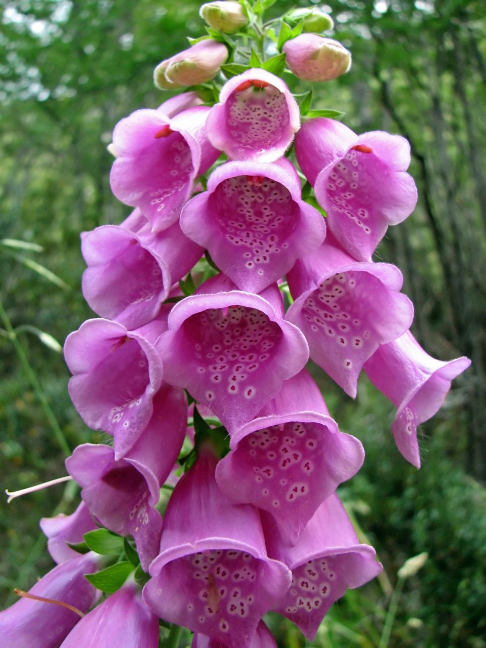
| A view behind the flower |
Wild Patagonian scenery, with the trail running through |
Reaching the first marvelous lake | ||
 |
 |
 |
 |
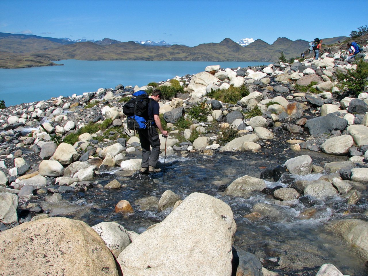
| One more stream to cross... |
... and we are on the beach |
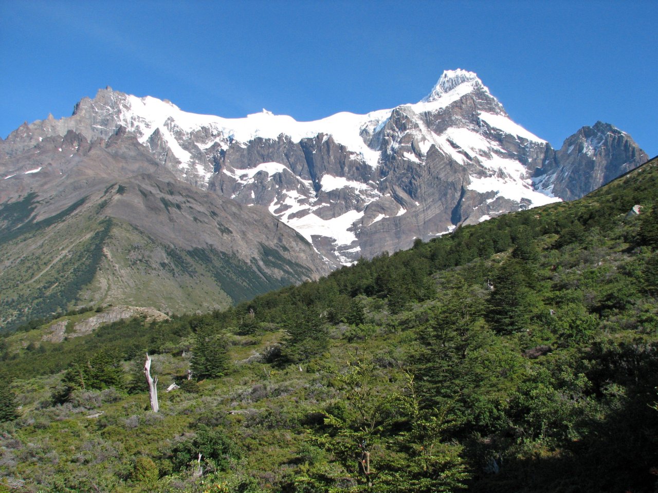
Almirante Nieto raising above the lake |
Trekking between the two lakes |
 |
 |
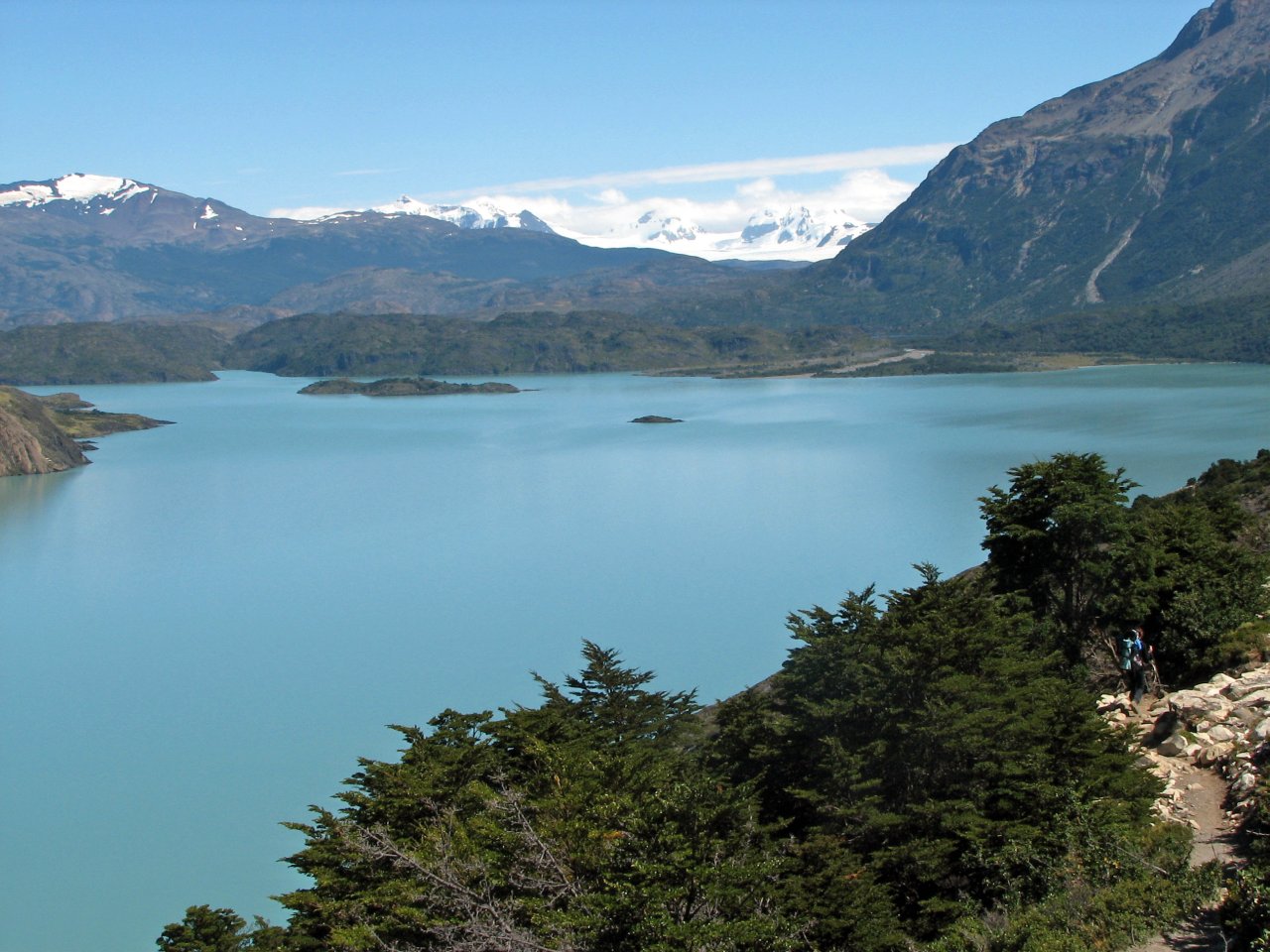
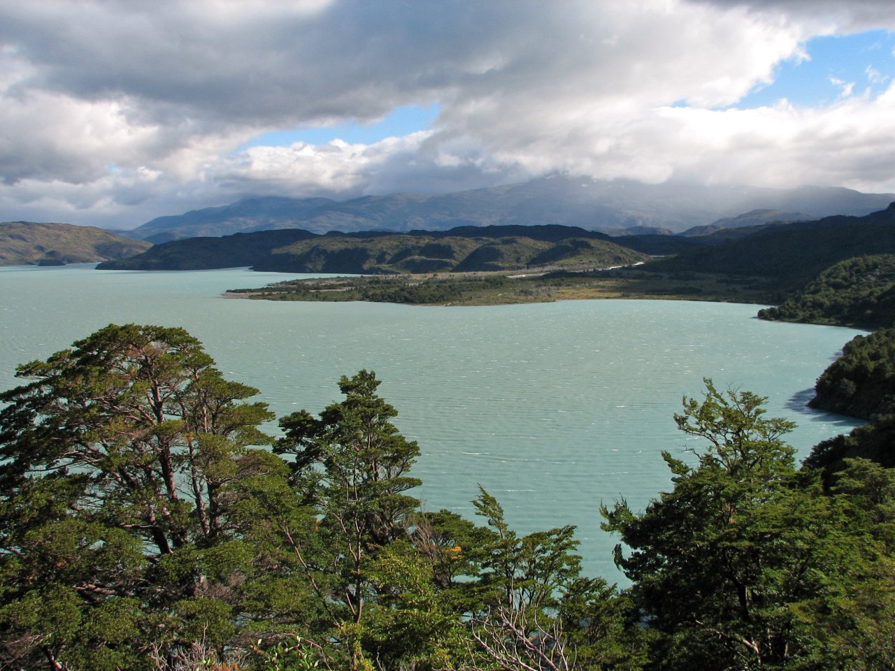
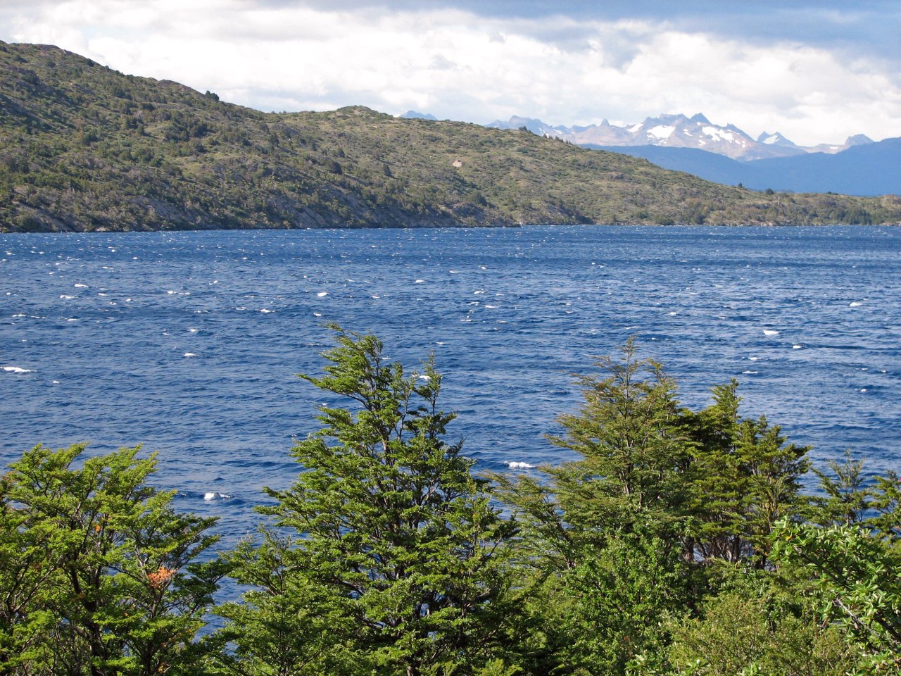
| A panoramic view of Lago Nordenskjöld | A crystal-clear stream with drinkable water |
 |
 |
 |
 |
 |
| Reflective surface of Lago Nordenskjöld | Crossing a small river | |||
 |
 |
 |
 |
 |
| The trail runs up in the banks, in parallel with the shore of Lago Nordenskjöld | ||||
 |
 |
 |
 |
 |
| Looking back on the trail |
More streams making their way through hard rock |
The trail starts descending again to to our destination |
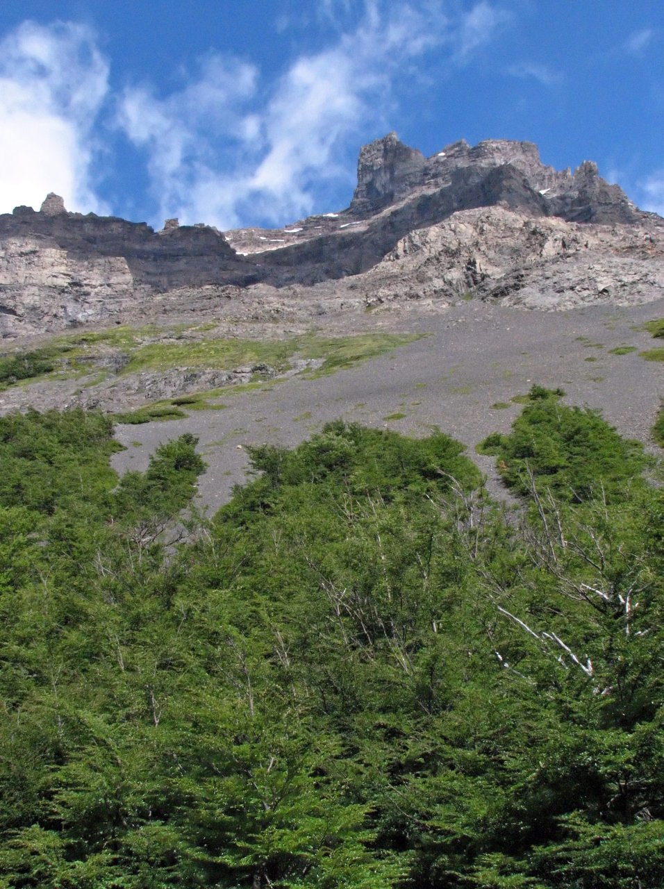
Approaching Refugio los Cuernos, the Cuernos and Glaciar del Francés already visible ahead |
|
 |
 |
 |
 |
 |
| One more breathtaking view on Lago Nordenskjöld... |
...and Refugio los Cuernos' roof shows up behind the corner |
Yet another larger stream to cross... | ...and we set up our tents at camp Cuernos |
|
 |
 |
 |
 |
 |
| A bird came posing just a few meters away |
Berries at the camp site |
Dropping a few steps down to the lake shore | ||
 |
 |
 |
 |
 |
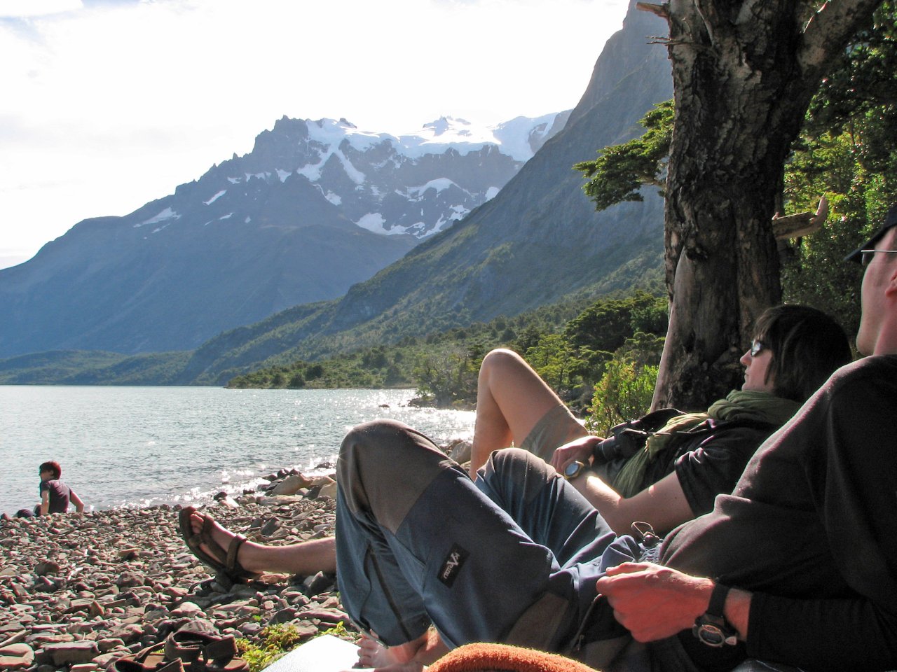
| Soaking our feet in the cold mountain lake after day's walk, enjoying perfect weather in late afternoon | ||||
 |
 |
 |
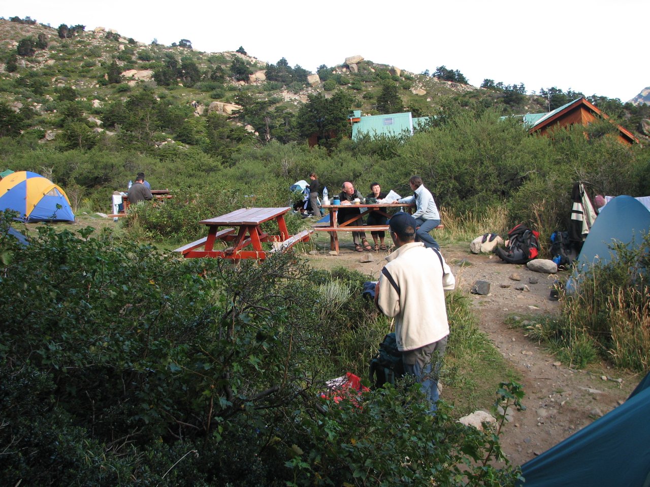
| Camp site at Refugio los Cuernos |
Cooking pasta for dinner, a few cooks and plenty of supervisors |
Avalanches are rumbling down from Glaciar del Francés in the distance |
|
Day 4 Camping los Cuernos - Campamento Italiano* - Camping los Cuernos |
 Daily map |
||
|
Trekking time: Trekking distance: |
2 hours 11 km |
Light backpacks, water only
|
|
Waking up on the fourth day in Torres, our luck with weather finally run out. It was raining in the morning, and it continued raining into the afternoon. We had a day prepared in reserve for cases like that, so we stayed in our tents, or gathered in the nearby cabin to wait out the weather.
 |
 |
 |
 |
 |
| It's dull and raining at Camping los Cuernos, low clouds extending almost to the ground | Stream carries more water than yesterday... |
|||
 |
 |
 |
 |
 |
| Horses are wet, too | In the afternoon, the sun finally managed to get through |
The rest of the day turned out to be magnificent, and three of us, stiff from lying in tents all day, went for a quick, fast-paced trek to the Campamento Italiano and back, 11 km altogether. |
||
 |
 |
 |
 |
| Waves are high on the lake, as it is quite windy |
A view on the western part of Lago Nordenskjöld, in the afternoon, just after rain |
Heavy clouds are still hanging around mountain peaks... |
|
 |
 |
 |
 |
 |
| ... but clearing up quickly |
The sun starts casting long shadows... | |||
 |
 |
| ...and shines last rays on the Cuernos... |
...as we return from the trek in under two hours |
|
Day 5 Camping los Cuernos - Campamento Italiano - Campamento Britanico - Los Cuernos mirador - Campamento Italiano |
 Daily map |
||
|
Trekking time: Trekking distance: |
6 hours 18 km |
Fully loaded backpacks up to Campamento Italiano
|
|
After the rainy day, we were able to go on to the Valle del Francés. The trek was composed of two parts, the first goal being getting to the Campamento Italiano and set up our camp there, then proceed up the valley to Campamento Britanico, another hour of steep climbing up to the viewpoint, and return to Campamento Italiano by the evening.
 |
 |
 |
 |
 |
| Today we are going into the valley to the right |
Down by the lake again | The path to Campamento Italiano goes through a bushy slope |
Last views on the lake... | |
 |
 |
 |
 |
 |
| ...before turning into a thick foliage |
Glaciar del Francés is getting closer |
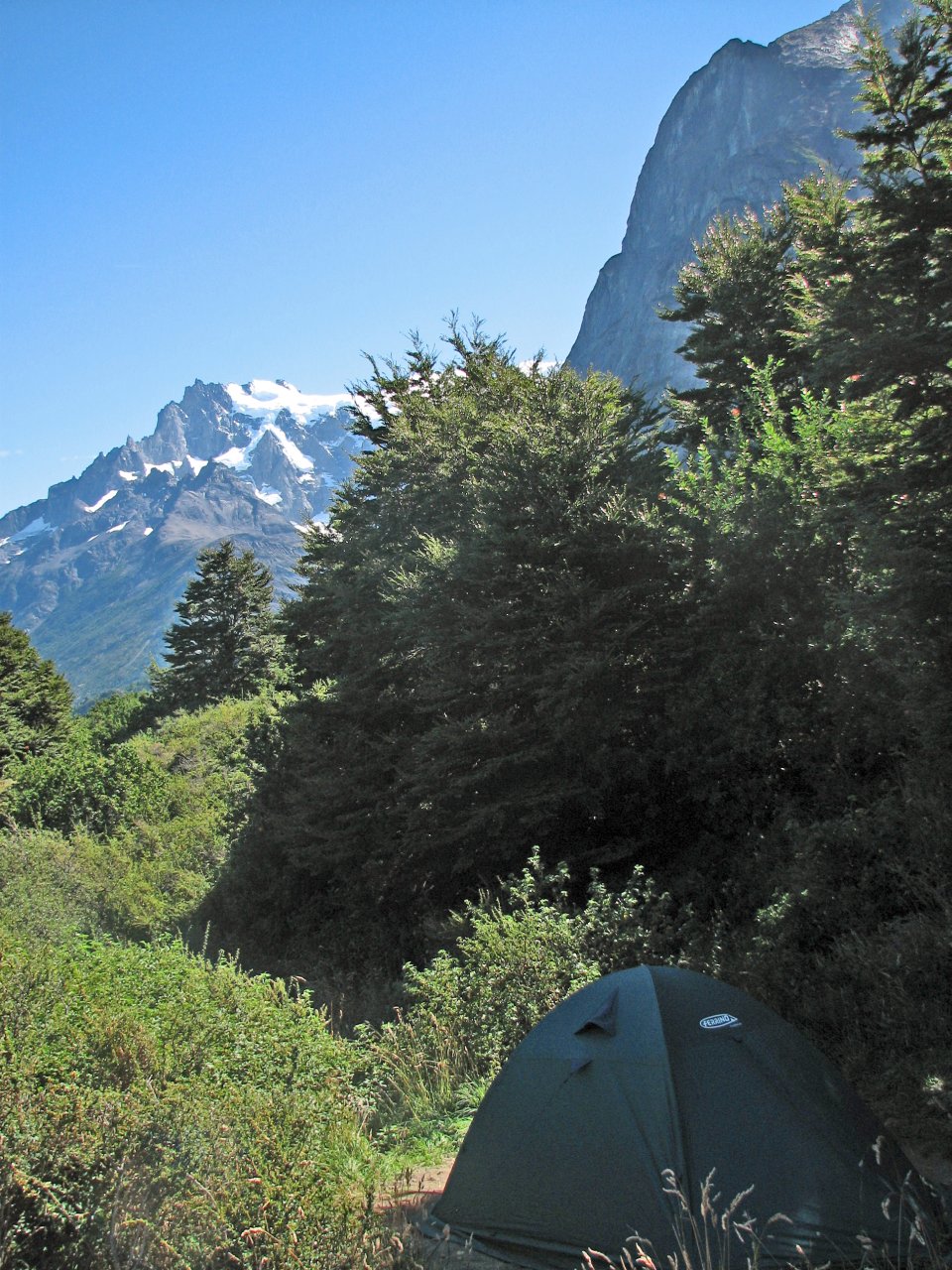
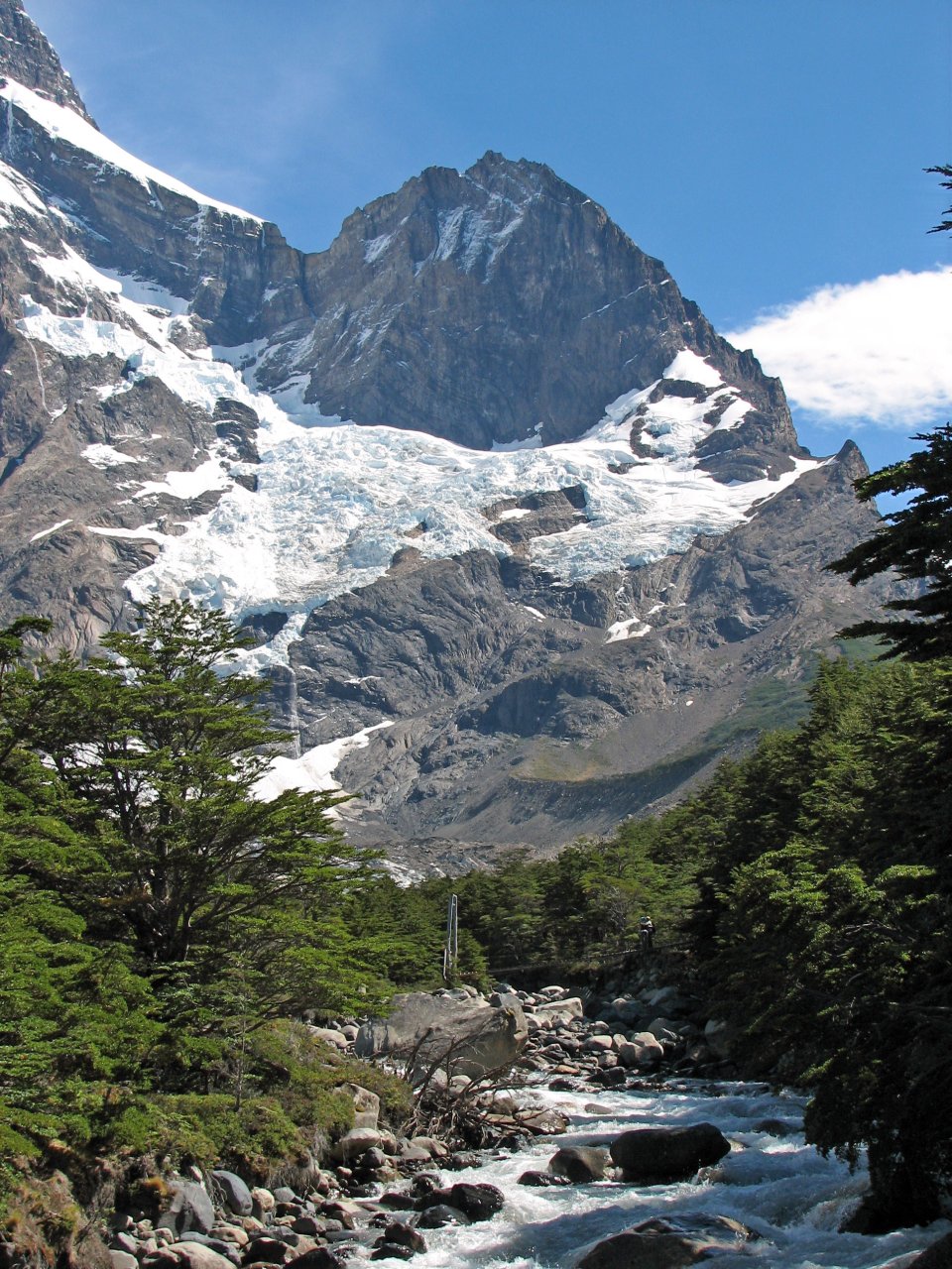
Campamento Italiano is just next to the Rio del Francés |
We set up our tents in the foresty camp... |
...and prepare ourselves for the second leg |
 |
 |
 |
 |
 |
| A hanging bridge by the camp |
Yet another avalanche on Glaciar del Francés |
Glaciar del Francés is feeding a small lake | Rio del Francés flows down in the other direction |
|
 |
 |
 |
 |
 |
| Panoramic views of the glacier... | ...and black-topped Cuernos on the other side |
Behind us are the marvelous lakes |
||
 |
 |
 |
 |
 |
| Rio del Francés is a fast-paced one |
Distinctive Cuernos peaks are following us on the right |
Rocky walls are no less spectacular on the other side |
||
 |
 |
 |
| The trail takes us through open bushy fields, and into thick forest |
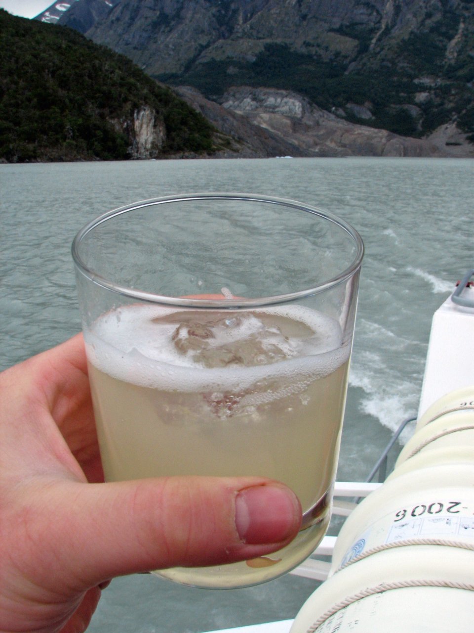
A welcome refreshment |
|
 |
 |
 |
 |
 |
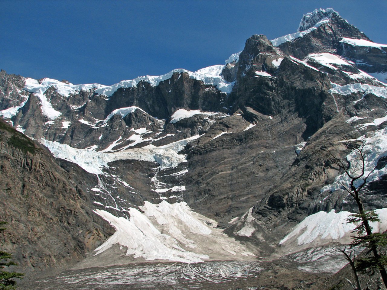
| After reaching Campamento Britanico, there is the last steep 30 min climb up to the viewpoint on the Francés valley. The view is well worth it, interesting clouds over Cuernos asking to be photographed |
||||
 |
| AVI Video Clip 640x480, 30fps, XVID, MP3 stereo (16 seconds, 5.22 MB) |
 |
 |
 |
 |
 |
| Returning down to Campamento Italiano, we stop once again at the Glaciar del Francés viewpoint | ||||
|
Day 6 Campamento Italiano - Camping Lago Pehoé - Refugio Grey |
 Daily map |
||
|
Trekking time: Trekking distance: |
7 hours 19 km |
Fully loaded backpacks
|
|
The sixth day was the last day of trekking in Torres del Paine, but it had made it up with the distance, weather, and the fact that we were walking with full gear. The plan was simple, pack up the camp in the morning, and move to Refugio Grey, our last camping site, passing Refugio and Camping Lago Pehoé on the way.
 |
 |
 |
 |
 |
| This time we are crossing that bridge |
Saying goodbye to the Francés glacier |
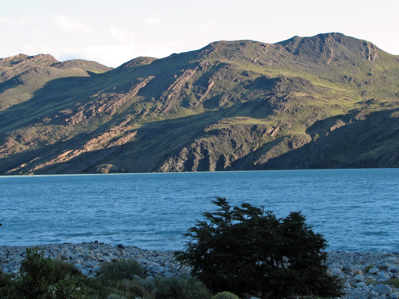
Trekking towards Lago Skottsberg | ||
 |
 |
 |
 |
 |
| It is an extremely windy day, wind gusts are throwing fine sand from the trail in our faces |
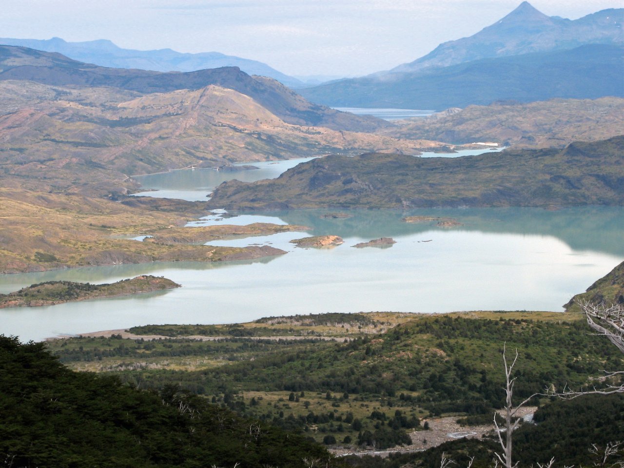
Lago Pehoé shows up in the distance |
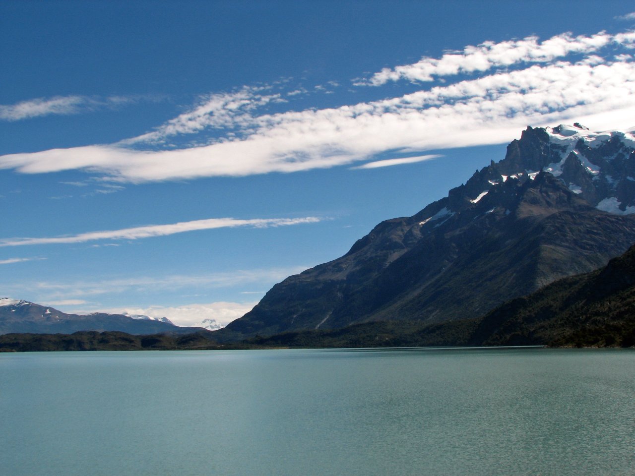
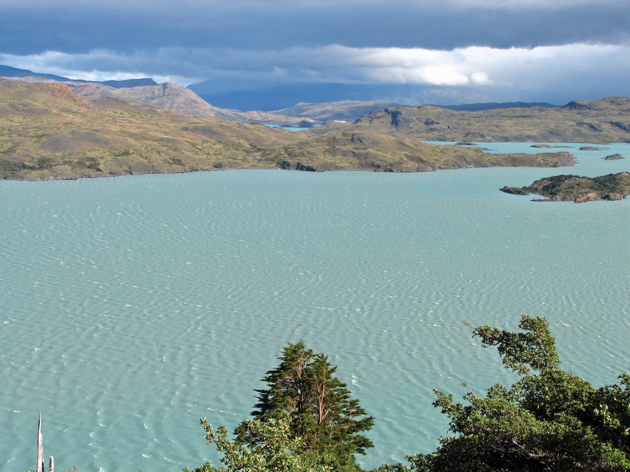
Lago Pehoé has a distinctive greenish blue color |
||
 |
 |
 |
 |
| Shortly after, our first destination, Refugio and Camping Lago Pehoé comes in sight |
Two hours after leaving Campamento Italiano, we take off our backpacks to take a short rest |
Weather doesn't look so good, heavy clouds right where we are going |
|
At this point, my camera went back in the safety of my backpack, and we all brought out our rain gear. Heavy
wind was already bringing down first drops of rain, and we were sure we are going to get wet this time. We
no longer had any spare time to wait out the rain under Pehoé's roof, we had to make it to Refugio Grey that
day to stay on schedule.
Astonishingly, nothing happened. Clouds were dark and threatening, a few drops did sprinkle down on us in the
next two hours, but that was all there was to it. Eventually, I brought the camera back out just as Lago Grey
came into the view for the first time.
 |
 |
 |
 |
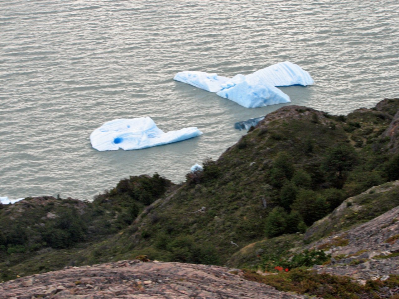 |
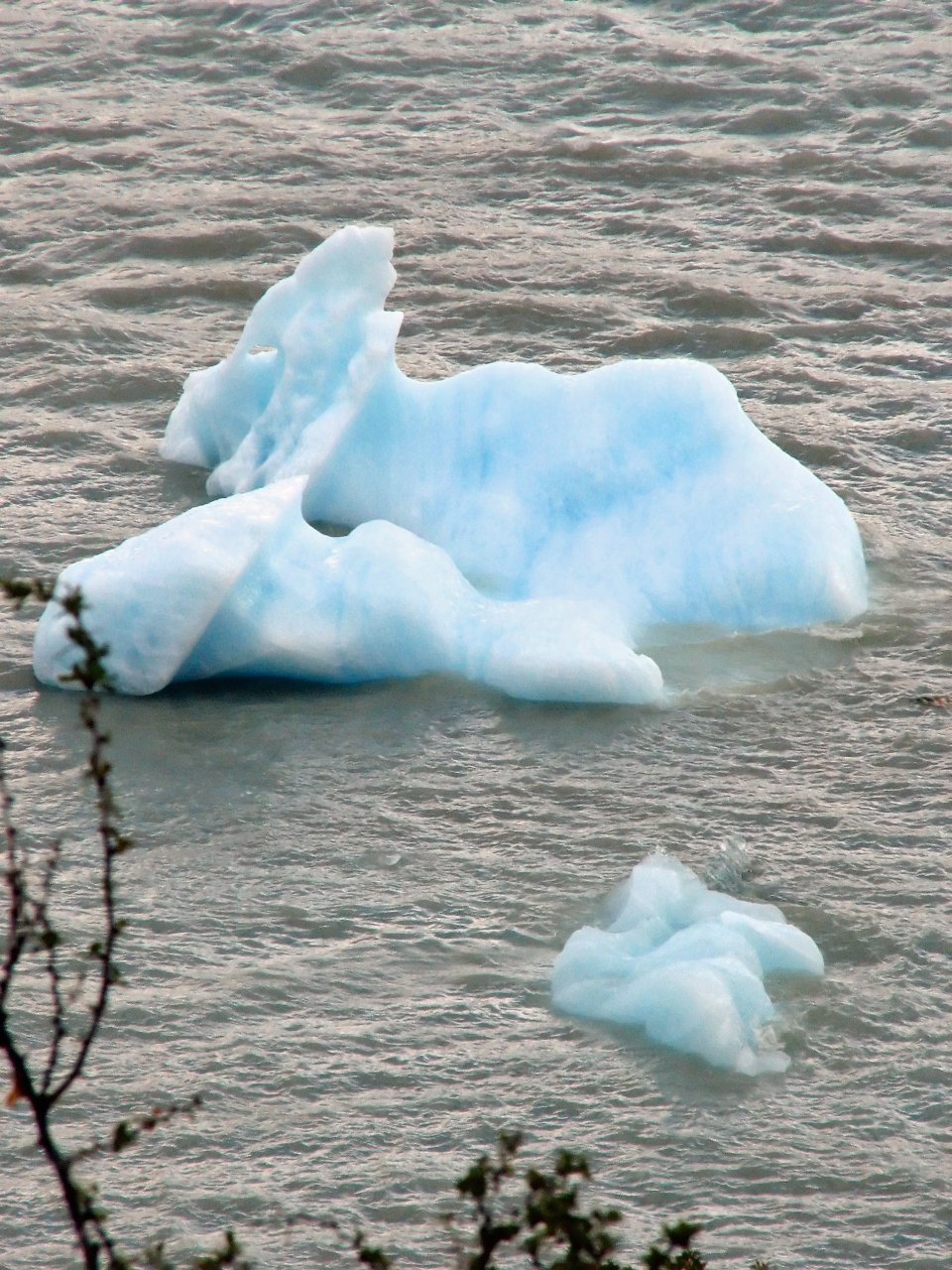
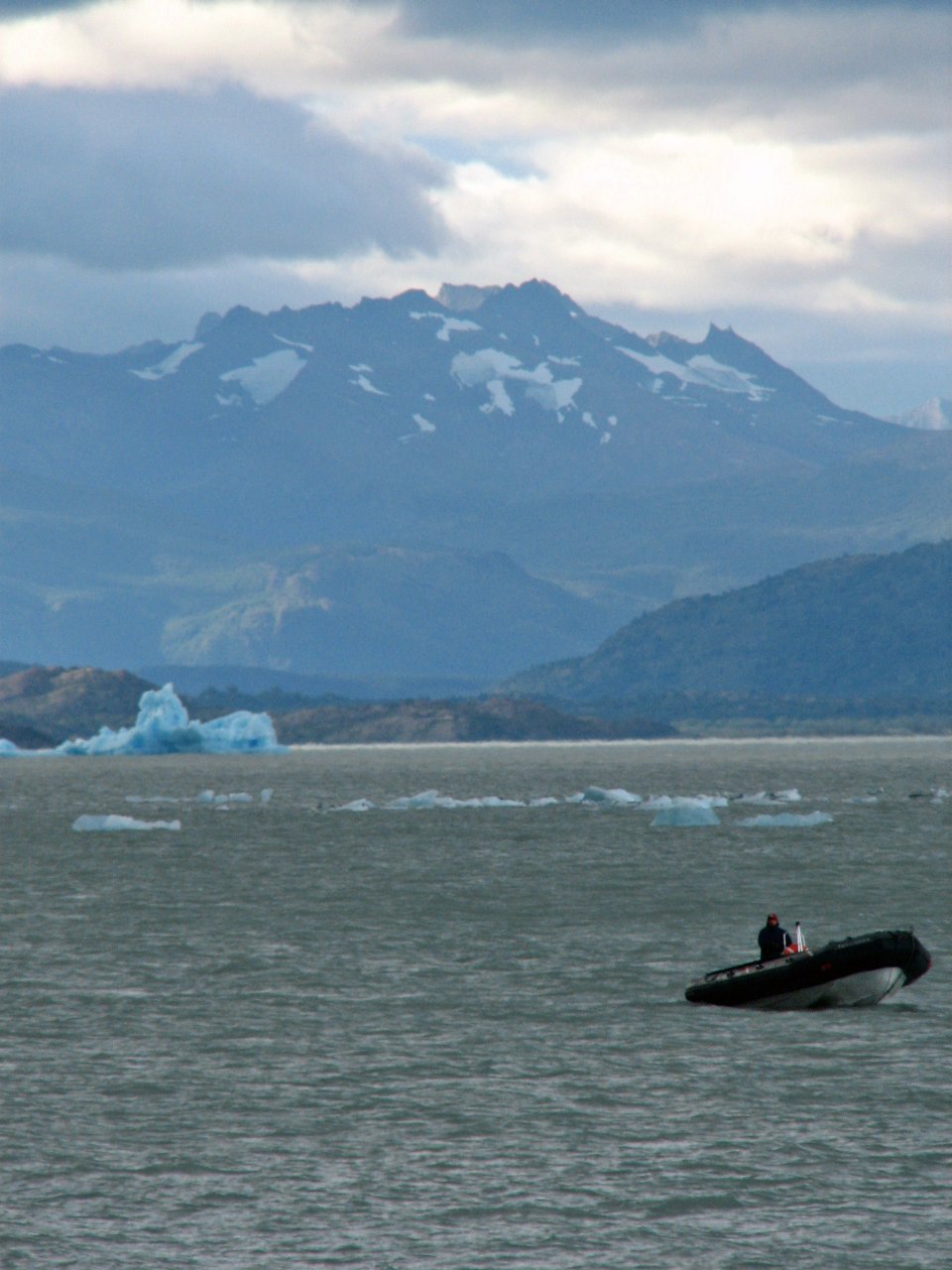
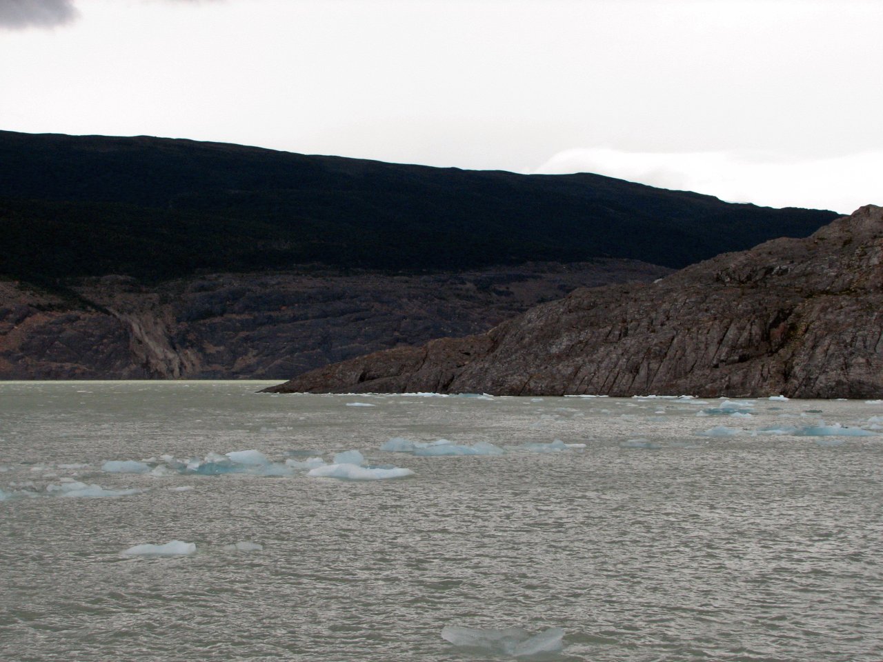
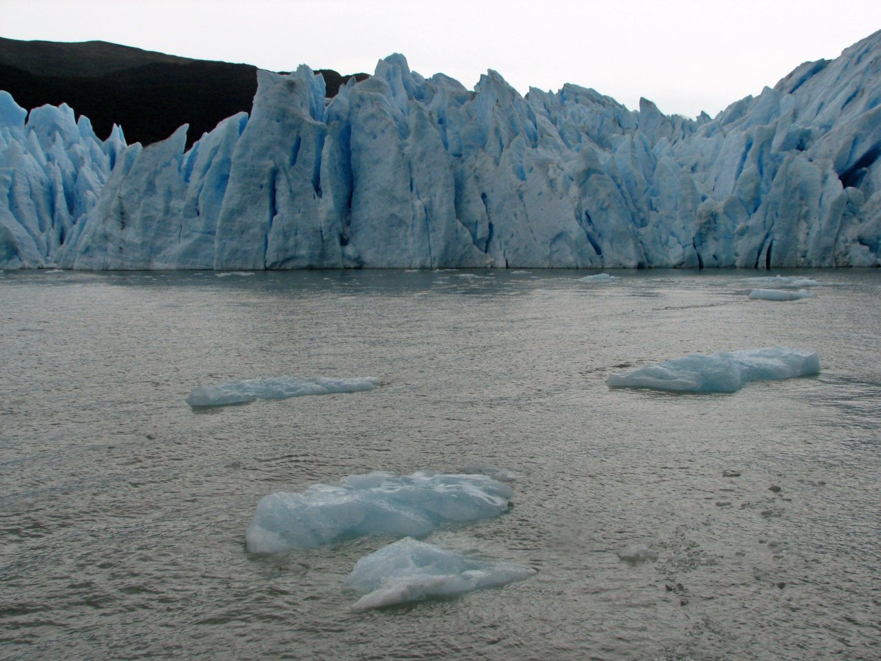
| Spotting the first blocks of ice floating on Lago Grey, suitably named for its grey color |
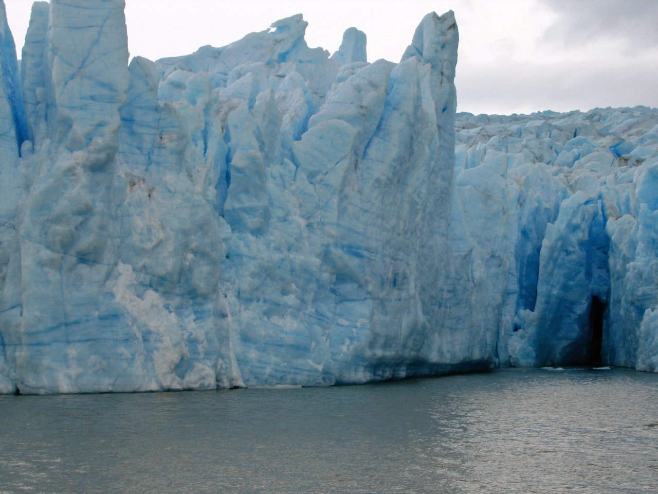
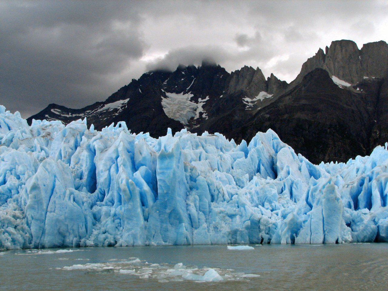
And this is the source. Glaciar Grey. It looks massive even from the distance. |
Ice blocks right beneath the trail |
||
 |
 |
 |
 |
 |
| Refugio Grey is right ahead, on the beach near the peninsula end |
A chance for refreshment | The trail starts to drag on. Taking the last break. |
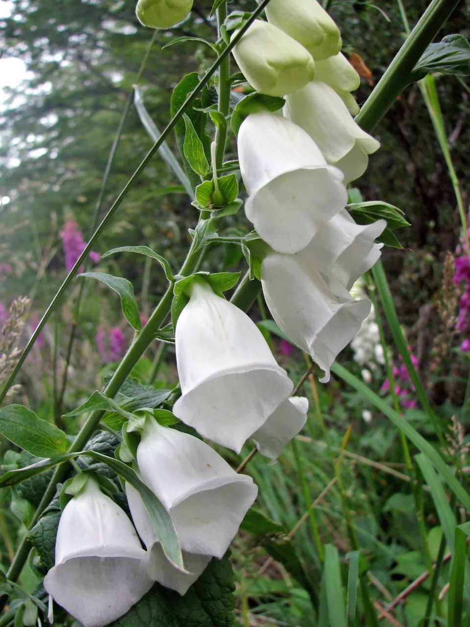
Some beautiful flowers by the trail | |
 |
 |
 |
 |
 |
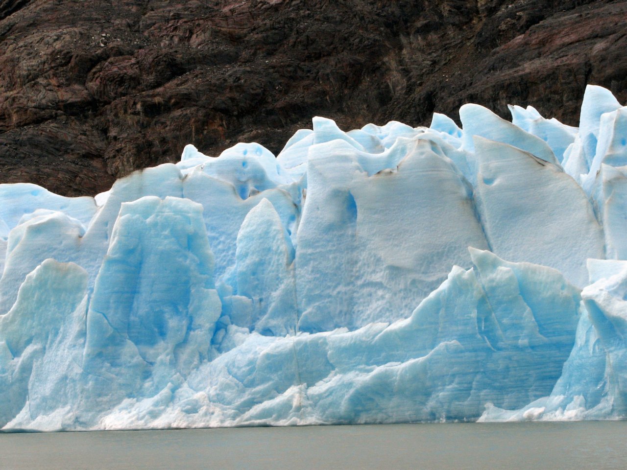
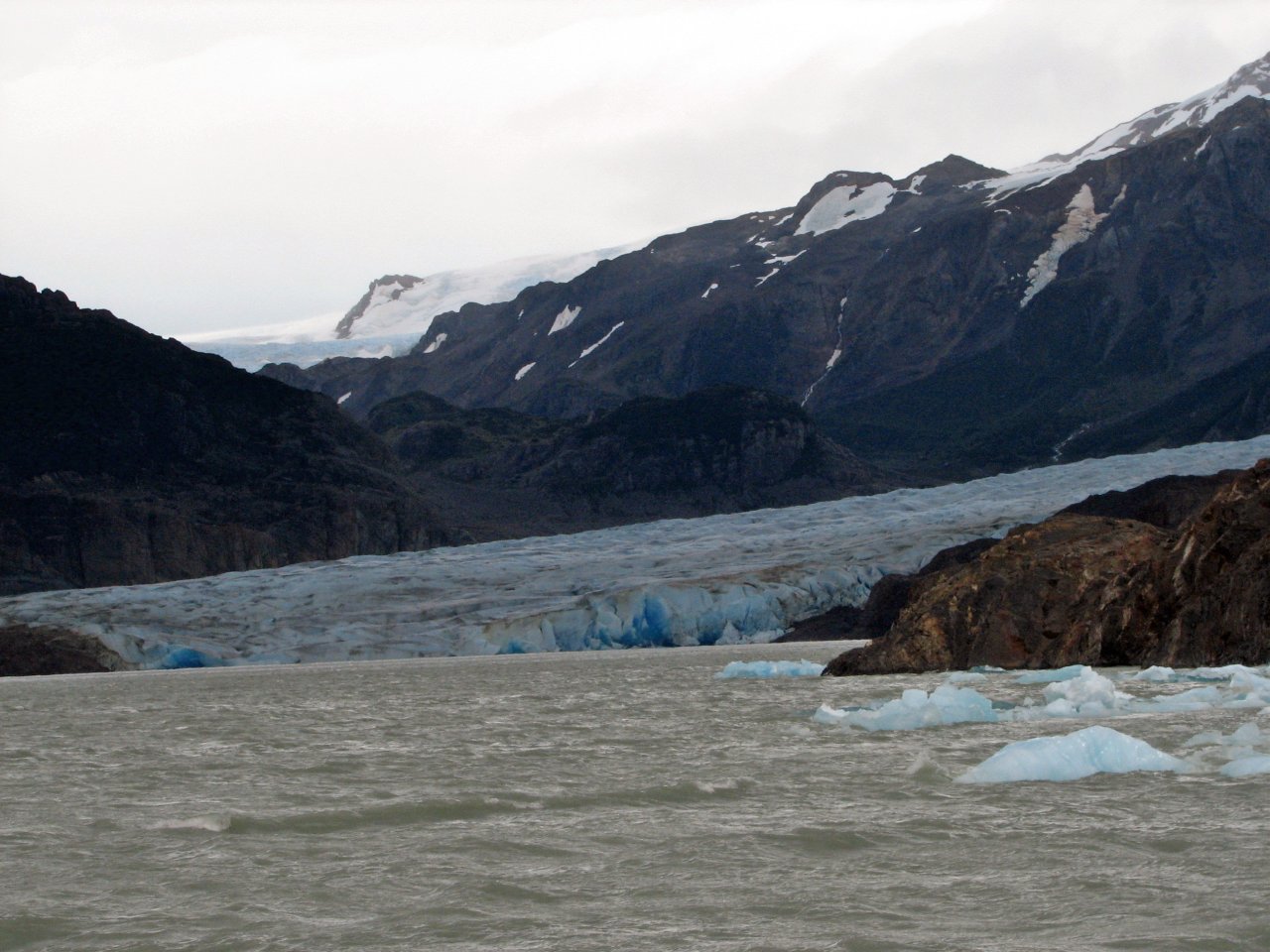
| One more close up photo of floating ice... |
...and we arrive with heavy feet to our final trekking destination in Torres del Paine, Refugio Grey |
As we are catching our breath, a group is boarding Grey II, taking a tour to the glacier Grey itself. We will do that tomorrow |
||
 |
 |
 |
 |
 |
| We put up our tents | A few impressions from the beach by the Grey camping site | |||
 |
 |
 |
 |
| Icebergs are such grateful subjects | Clouds are still there, but no longer threatening |
A flowing mass of ice awaits us just behind the corner |
|
|
Day 7 Refugio Grey - Hosteria Lago Grey (boat trip) |
 Daily map |
||
|
Trekking time: Trekking distance: |
/ / |
Fully loaded backpacks
|
|
For the last day in Torres del Paine National Park, we went on a boat ride up close to the Glaciar Grey before returning by bus to the park's entry point at Refugio Laguna Amarga, and eventually by the evening back to our small hotel in Puerto Natales, where the rest of the luggage awaits us.
 |
 |
 |
 |
 |
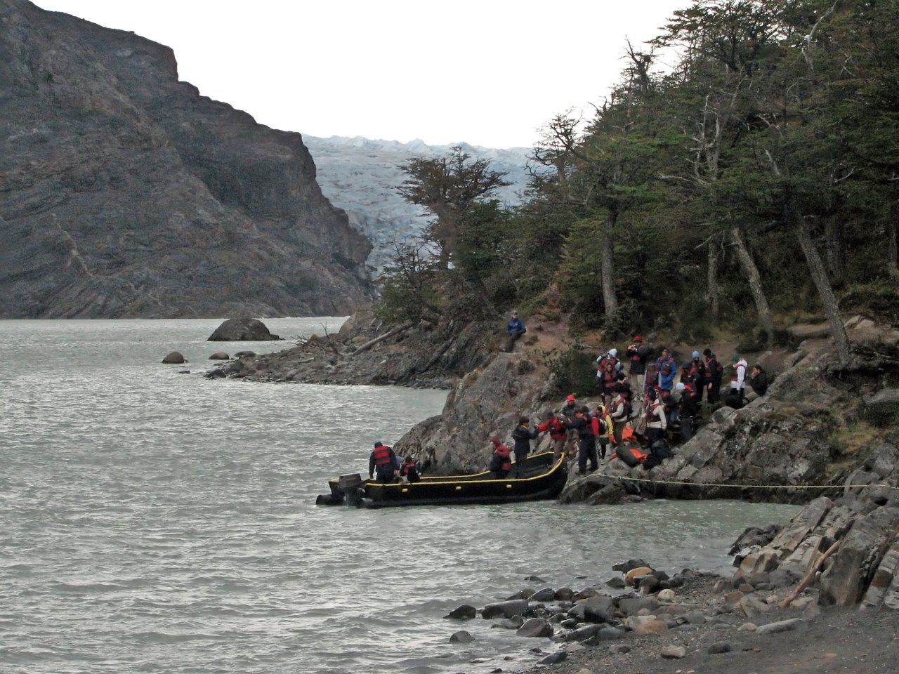
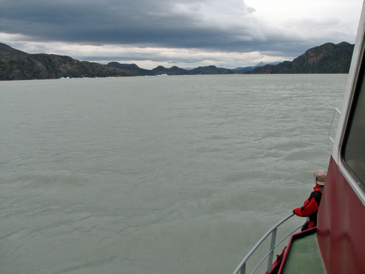
| It's morning at Refugio Grey, and we are going boat riding |
A smaller boat picks up us and our backpacks at the beach, and delivers us to the Grey II |
|||
 |
 |
 |
 |
 |
| The boat slowly takes us to the glacier's edge, first to the eastern part | Everybody get their cameras ready | |||
 |
 |
 |
 |
 |
 |
 |
 |
 |
 |
 |
 |
 |
 |
 |
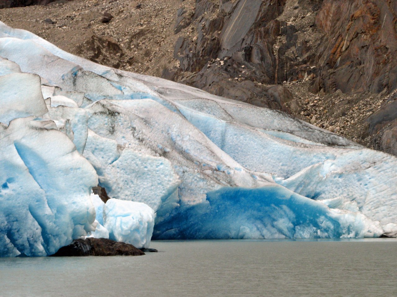
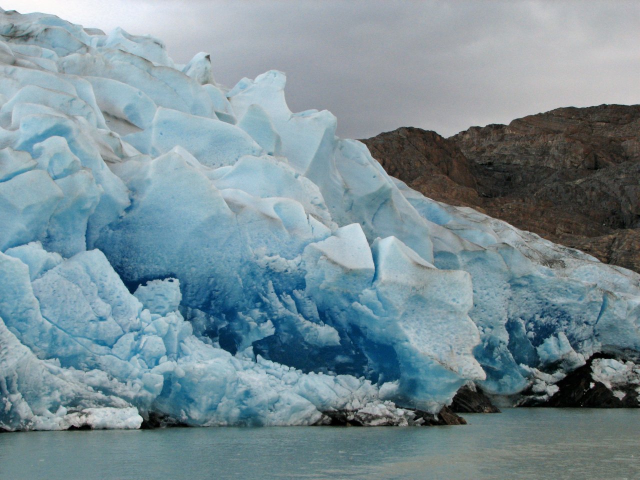
| Big blocks of ice shine with a deep blue glow that appears out of this world | ||||
 |
 |
 |
 |
 |
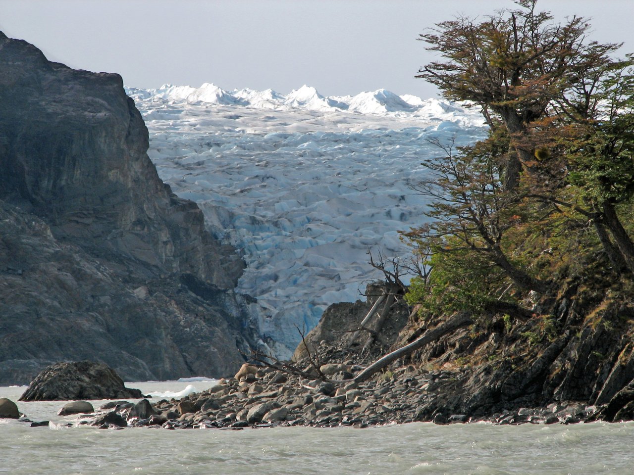
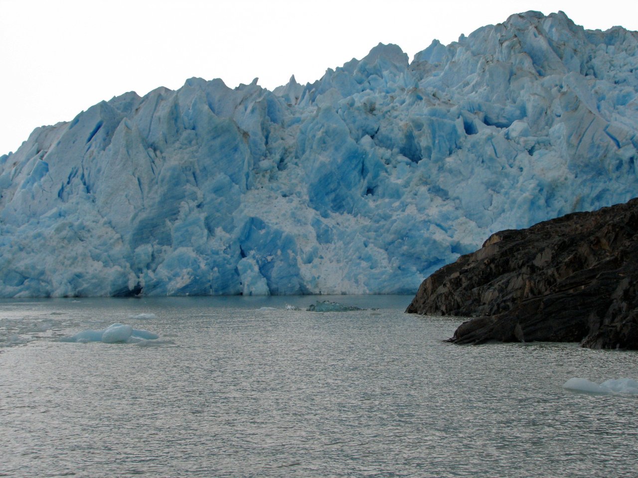
| Eastern part of Glacier Grey |
We get our own little icebergs |
Going around the island splitting Glacier Grey to the western side |
||
 |
 |
 |
 |
 |
 |
 |
 |
 |
 |
 |
 |
 |
 |
 |
 |
 |
 |
 |
 |
 |
 |
 |
 |
 |
| Larger, western side of glacier Grey | ||||
 |
 |
 |
 |
 |
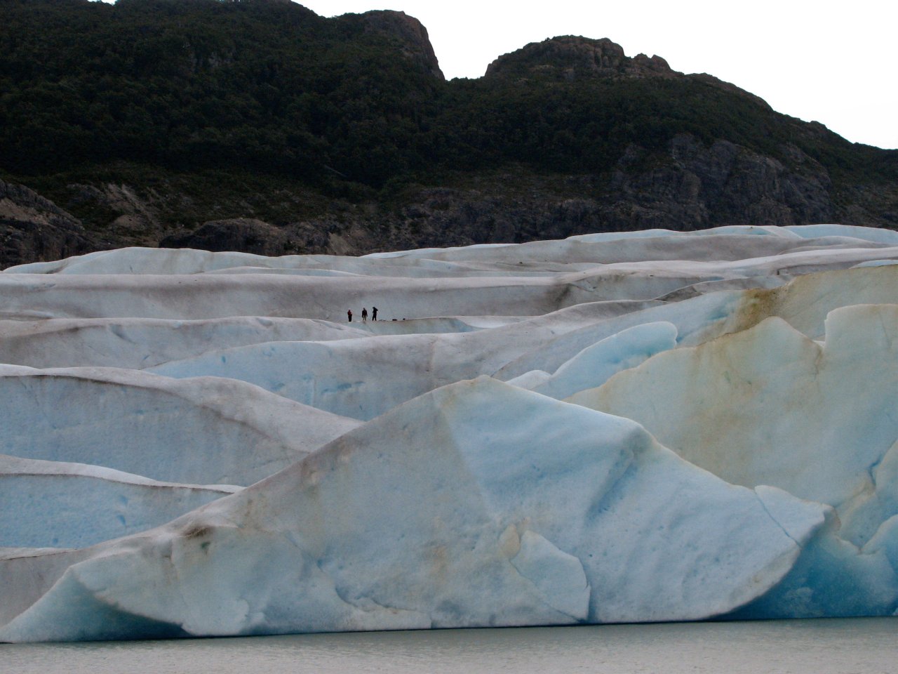
| They went glacier trekking. Only here shows the real size of the ice blocks |
Slowly making our way along Lago Grey to the port on the other side | Clouds open up just enough for this iceberg to shine in deep blue |
||
 |
 |
 |
 |
| Just before disembarking, we spot a condor nest up in the cliffs |
Driving back by road to Refugio Laguna Armanga, to catch a bus to Puerto Natales |
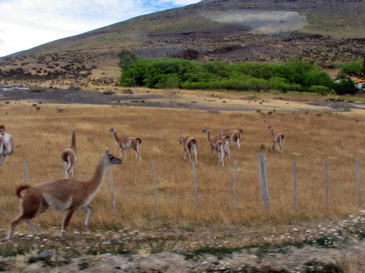
Guanacos, South America's llama, photographed from passing bus |
|
Puerto Natales - El Calafate
We completed our Torres adventure with a dinner in Puerto Natales' local pub, where we were reunited with the rest of our luggage, and spent the last night in Chile in cute little Hotel Residencial Centro. In the morning, we are catching a bus back to Argentina, another 4 hours of driving on gravel roads back to El Calafate.
 |
 |
 |
| A local driver will help us take our luggage to the bus station |
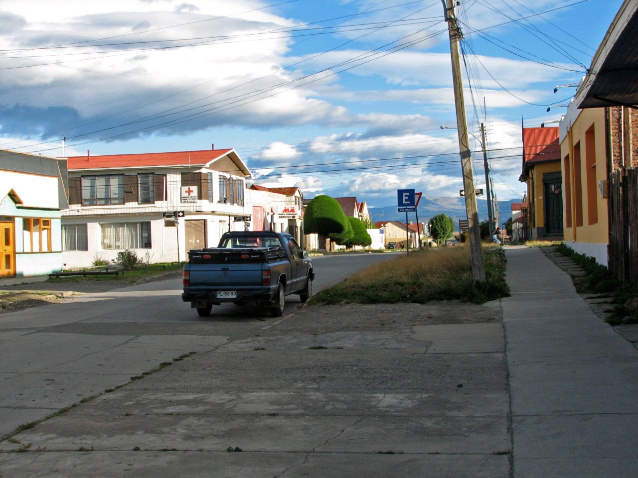
One last photo of Puerto Natales, 8:20 AM is way too early for locals |
Five hours later, El Calafate, and our familiar hostel once again |
Next page: Los Glaciares NP