|
Trekking in Patagonia |
Paris, El Calafate, Puerto Natales -
Torres del Paine NP -
Los Glaciares NP -
Buenos Aires
![]() Los Glaciares National Park
Los Glaciares National Park
|
Day 1 El Chalten - Cerro Torres (Laguna Torre) - El Chalten |
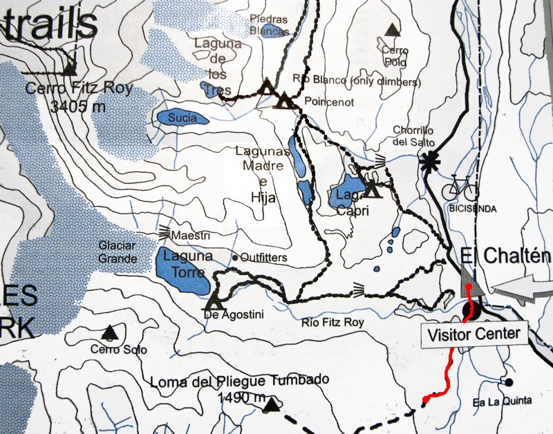
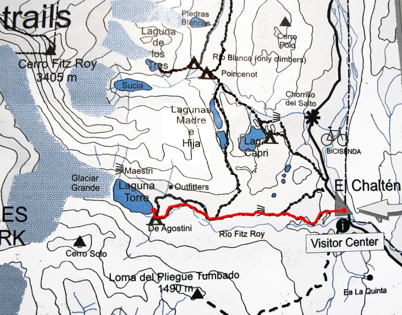 Daily map |
||
|
Trekking time: Trekking distance: |
6 hours 18 km |
 Light backpacks
|
|
After spending a night in El Calafate, we moved on to the second part of our trekking trip, the Los Glaciares
National Park with the famous Mt. Fitzroy as the main attraction. Los Glaciares NP is located about 200 km
north of El Calafate, and we went on yet another long and bumpy bus trip to the El Chalten, a small town that
will host our group for the next four days.
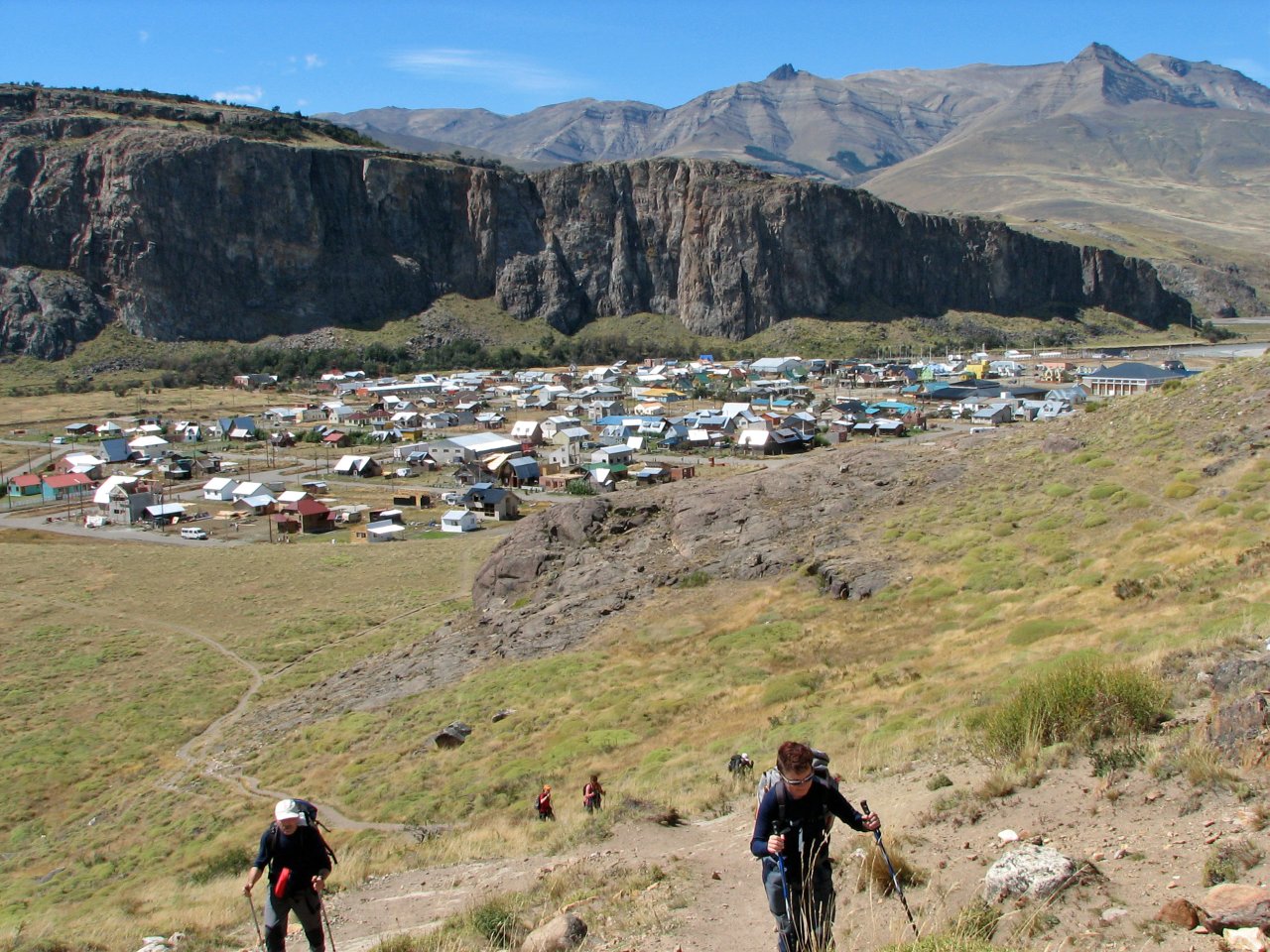
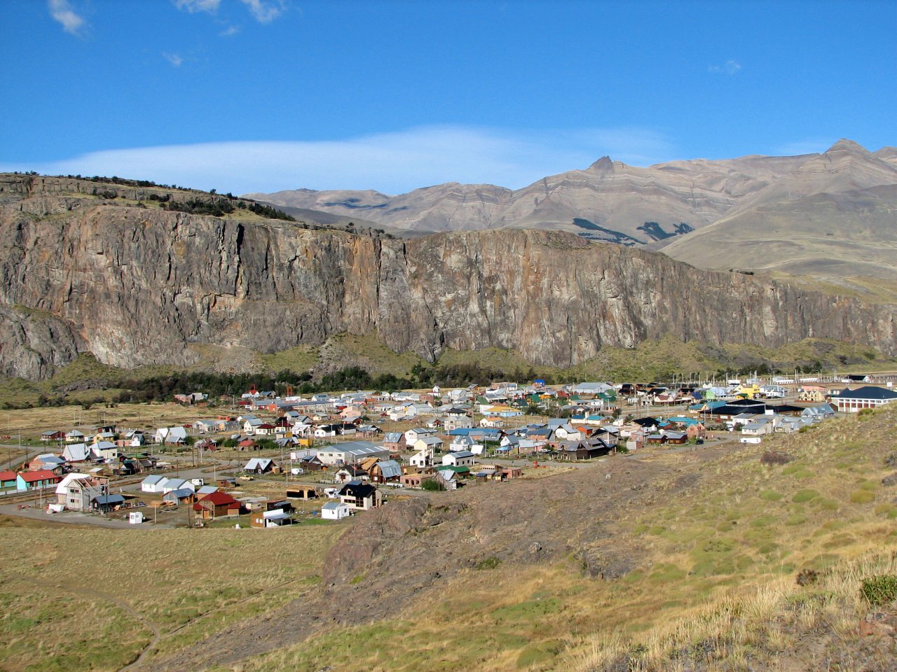
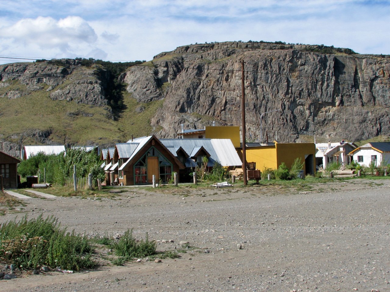
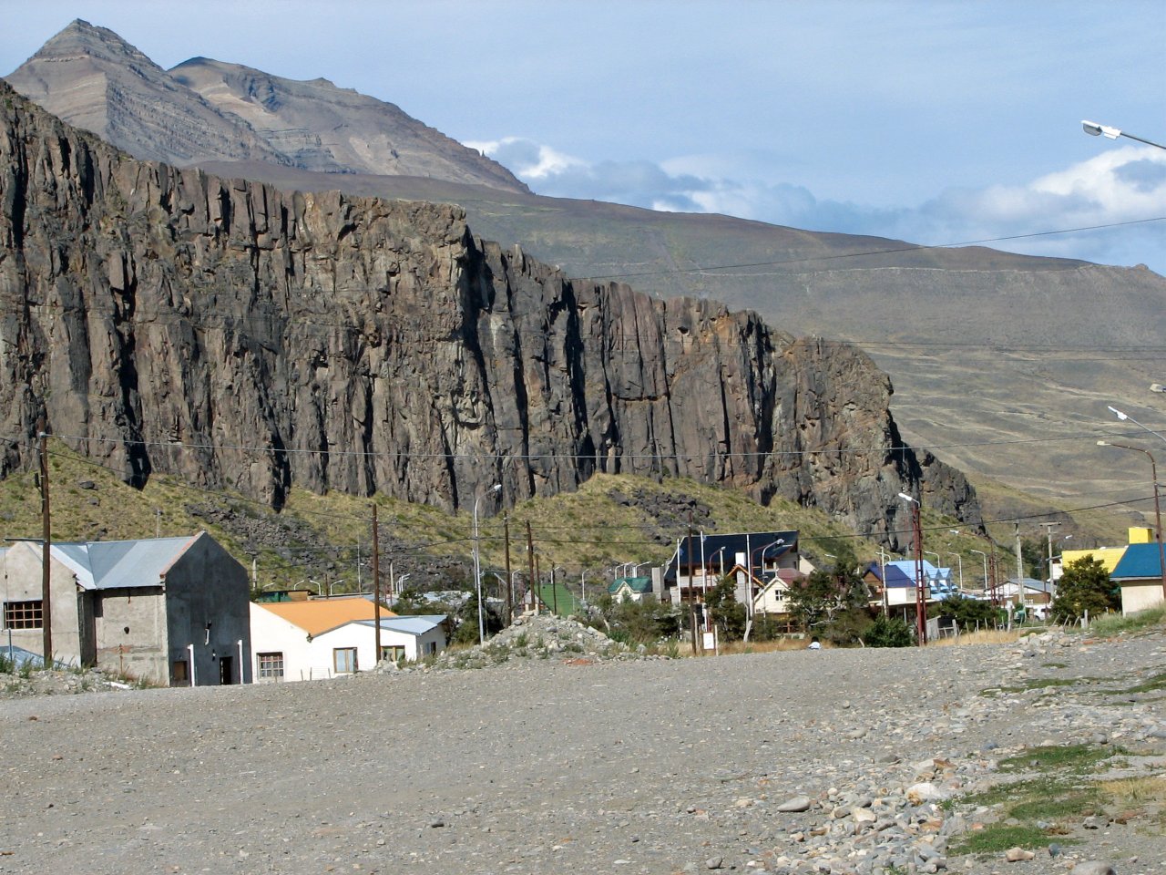
El Chalten is a village settled inside National Park Los Glaciares, and is the base for exploring the
park. All trails start in El Chalten, and are readily available for daily excursions in different
directions. While there are some native residents in El Chalten, during the season it consists almost
entirely of backpackers, hikers, and mountain climbers, occupying hostels, while locals provide
supporting services and small businesses.
 |
 |
 |
 |
 |
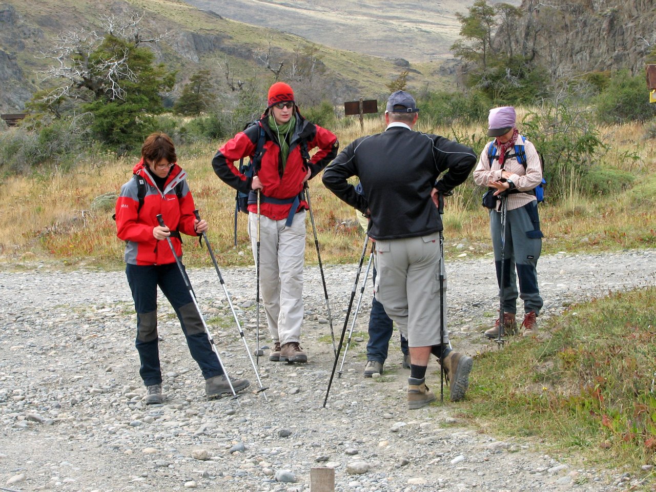
| On the way to El Chalten, bus makes a 10 min stop for refreshments at the roads crossing |
Arriving to the El Chalten |
We are welcomed by park rangers, given maps and basic instructions |
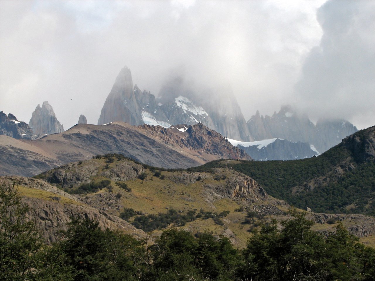
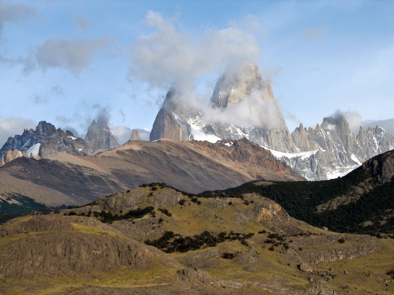
On arrival, Fitzroy is shy in the clouds |
|
We got settled in a backpacker's hostel, six persons per large room, and shortly after midday we had been trekking already to the first destination, Laguna Torre with a view on Cerro Torres mountain range and a glacier beneath.
 |
 |
 |
 |
 |
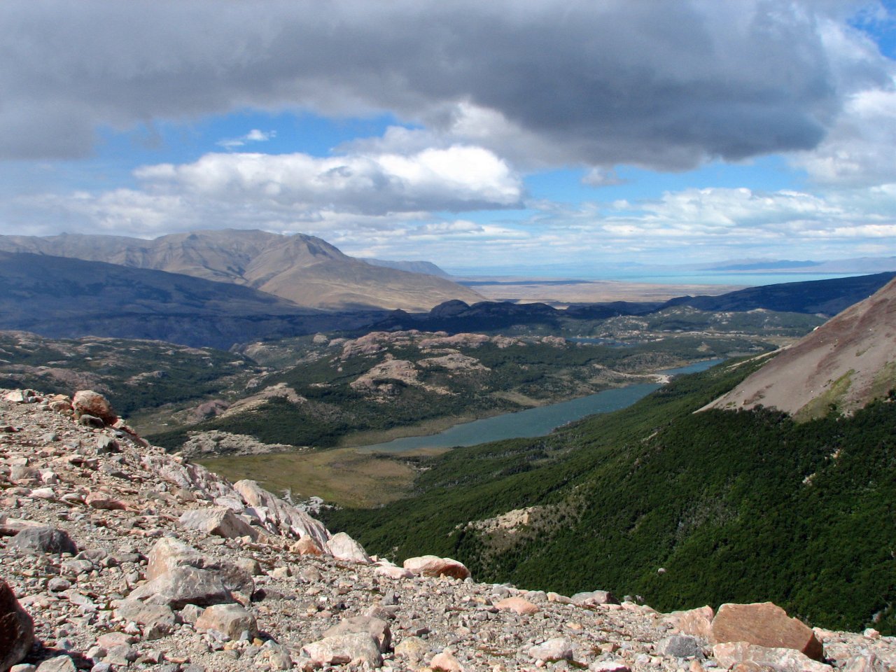
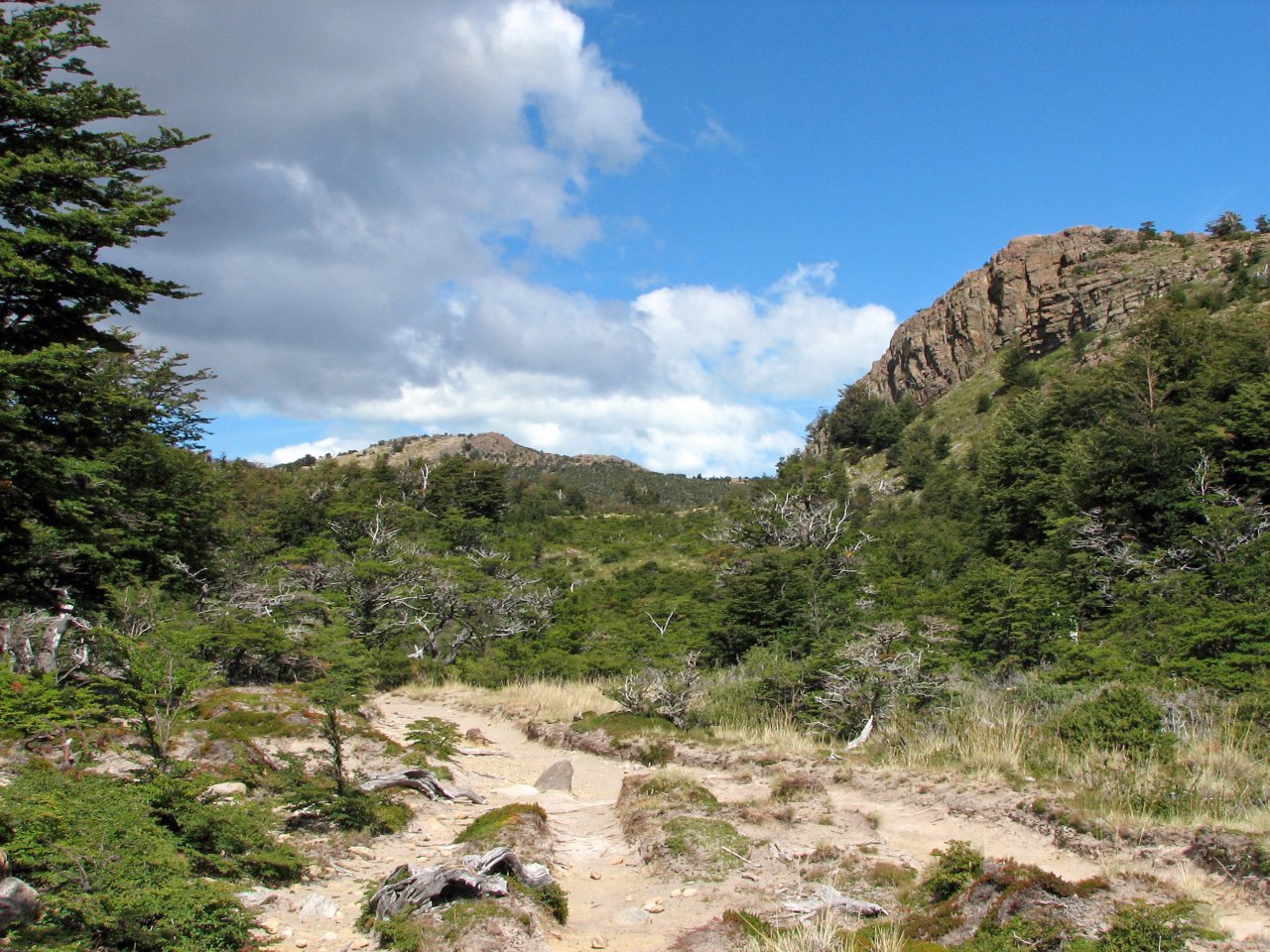
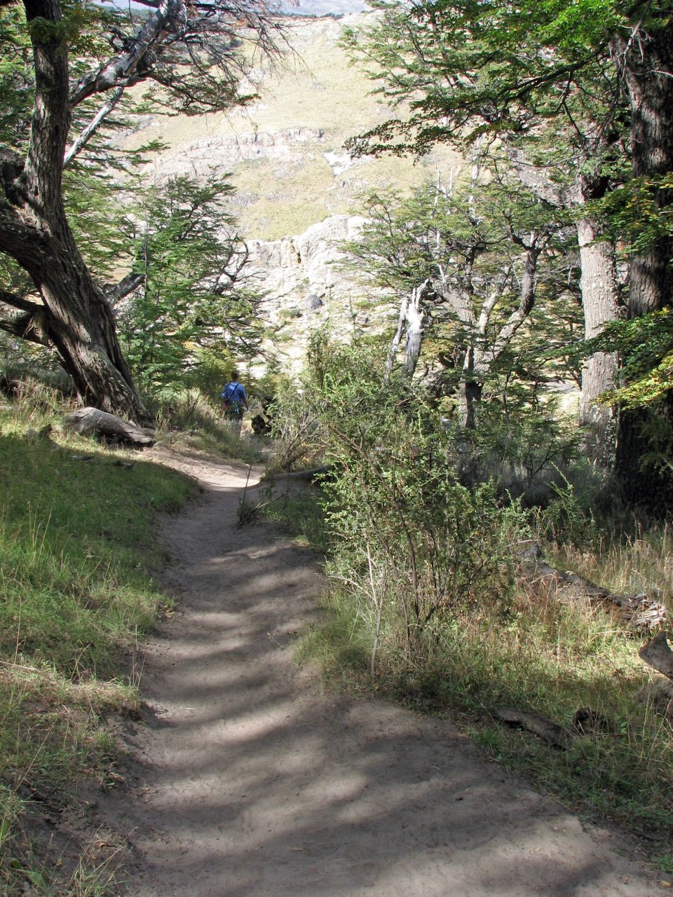
| Leaving El Chalten and going uphill | A typical scenery at Los Glaciares national park |
The valley with Cerro Torres and the glacier at the end |
||
 |
 |
 |
 |
 |
| Instead of trekking, you can go horse riding. |
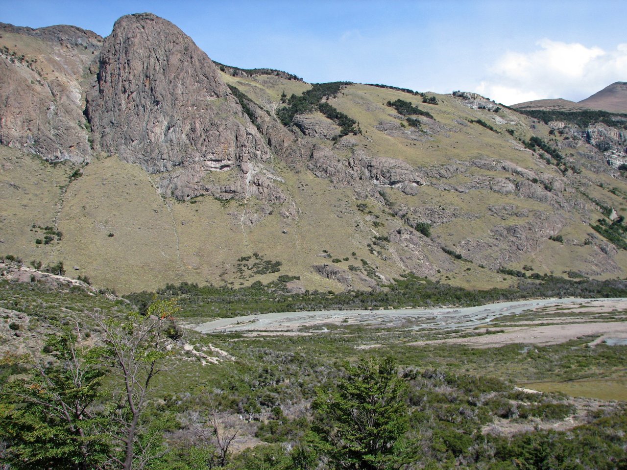
The trail drops down to the bottom of the valley, going upstream near the river | |||
 |
 |
 |
 |
 |
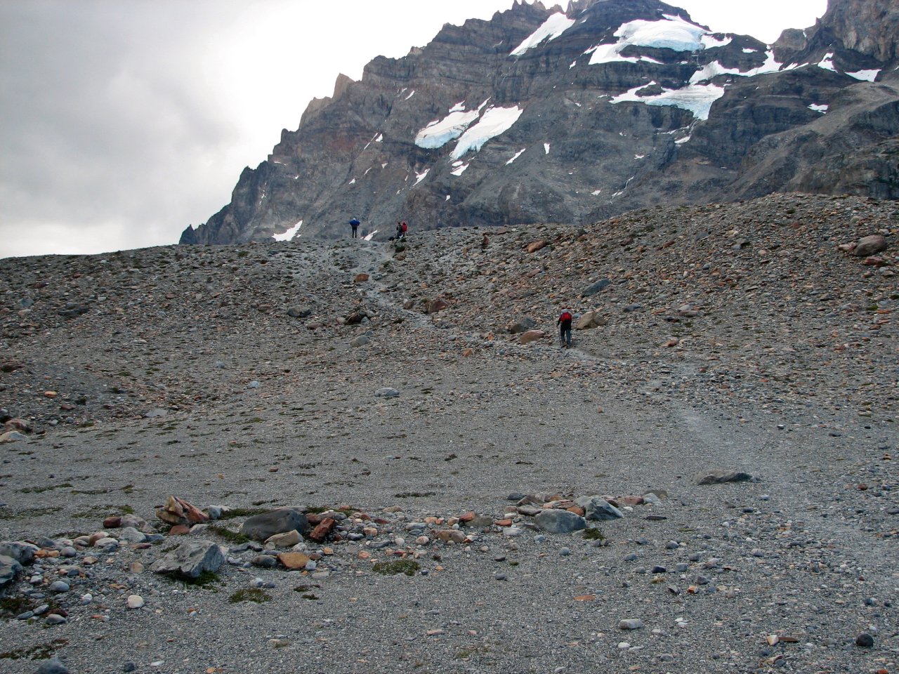
| Almost there... | The goal for today, at the top of this dike |
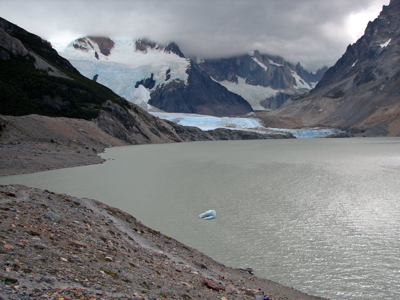
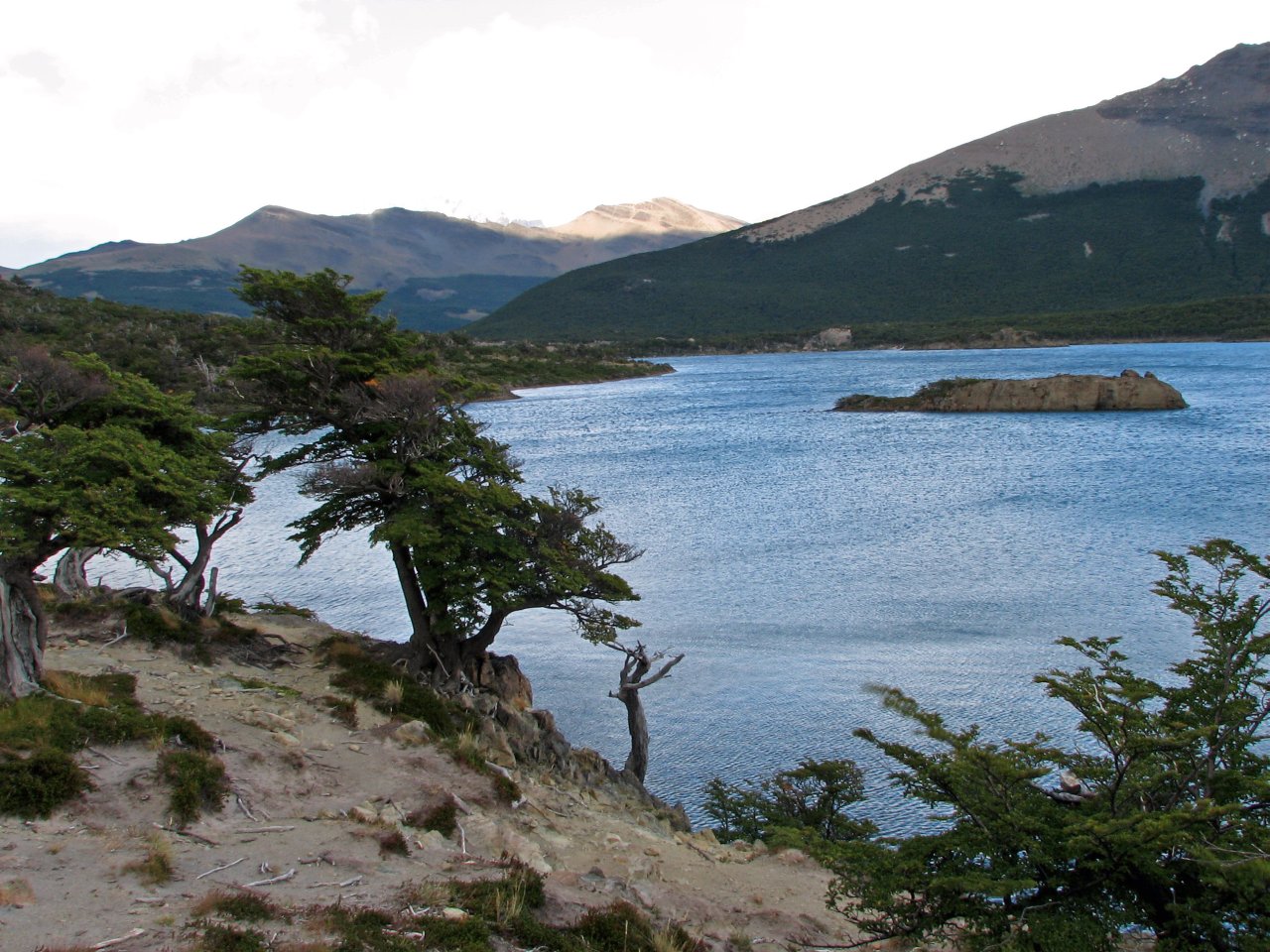
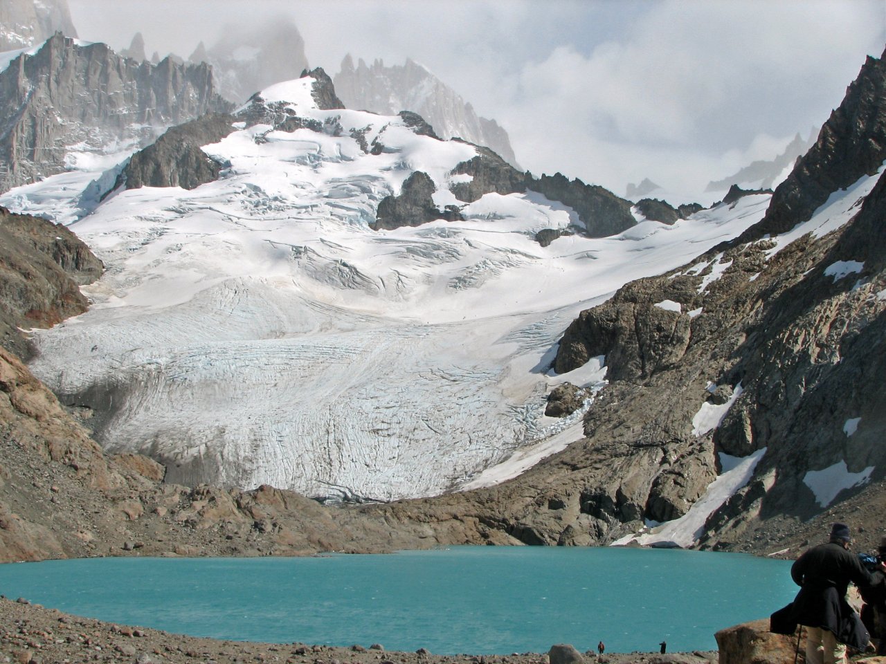
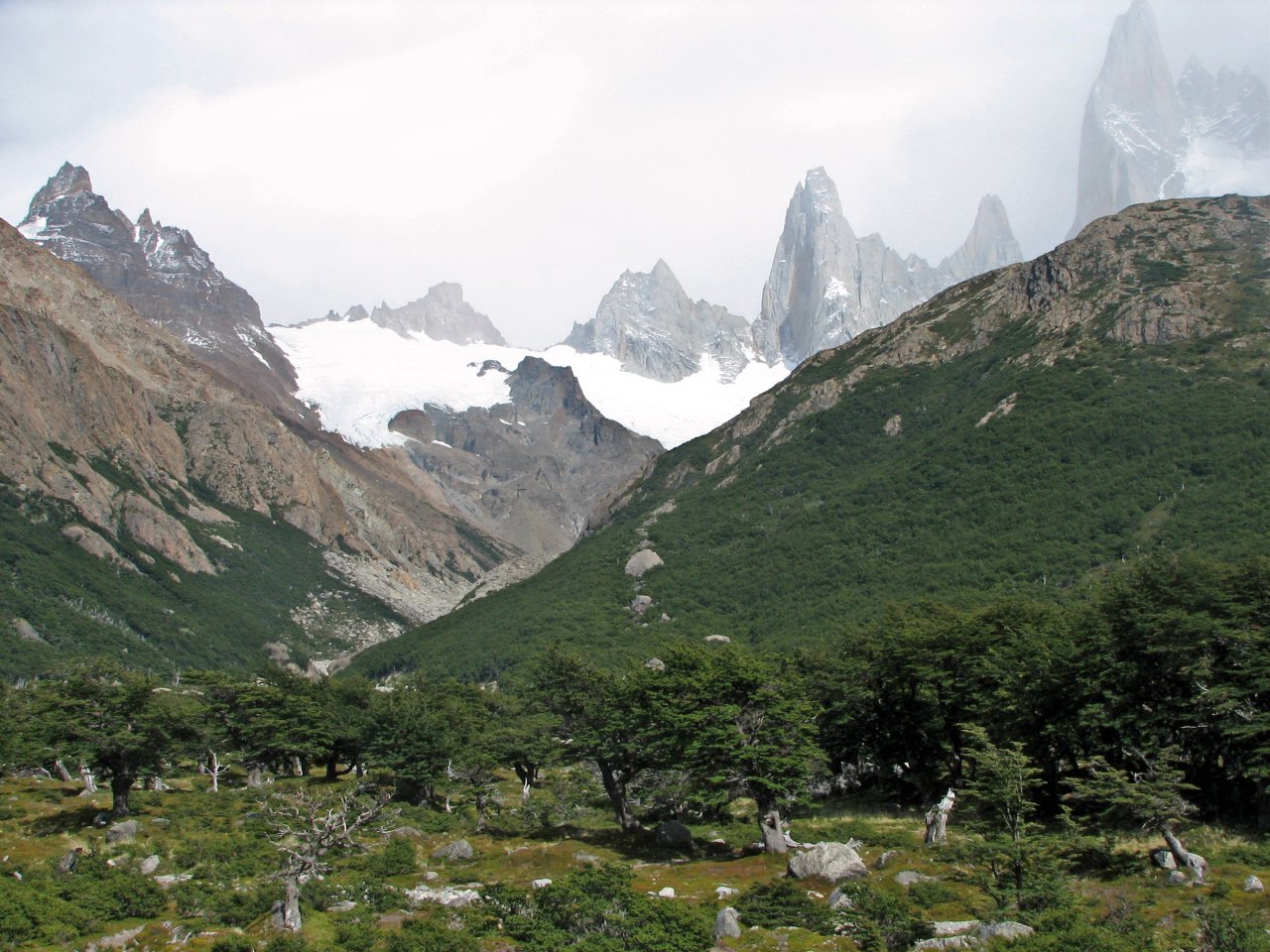
This is what we came for, Laguna Torre with a glacier. Cerro Torres peaks are engulfed in clouds though. |
||
 |
 |
 |
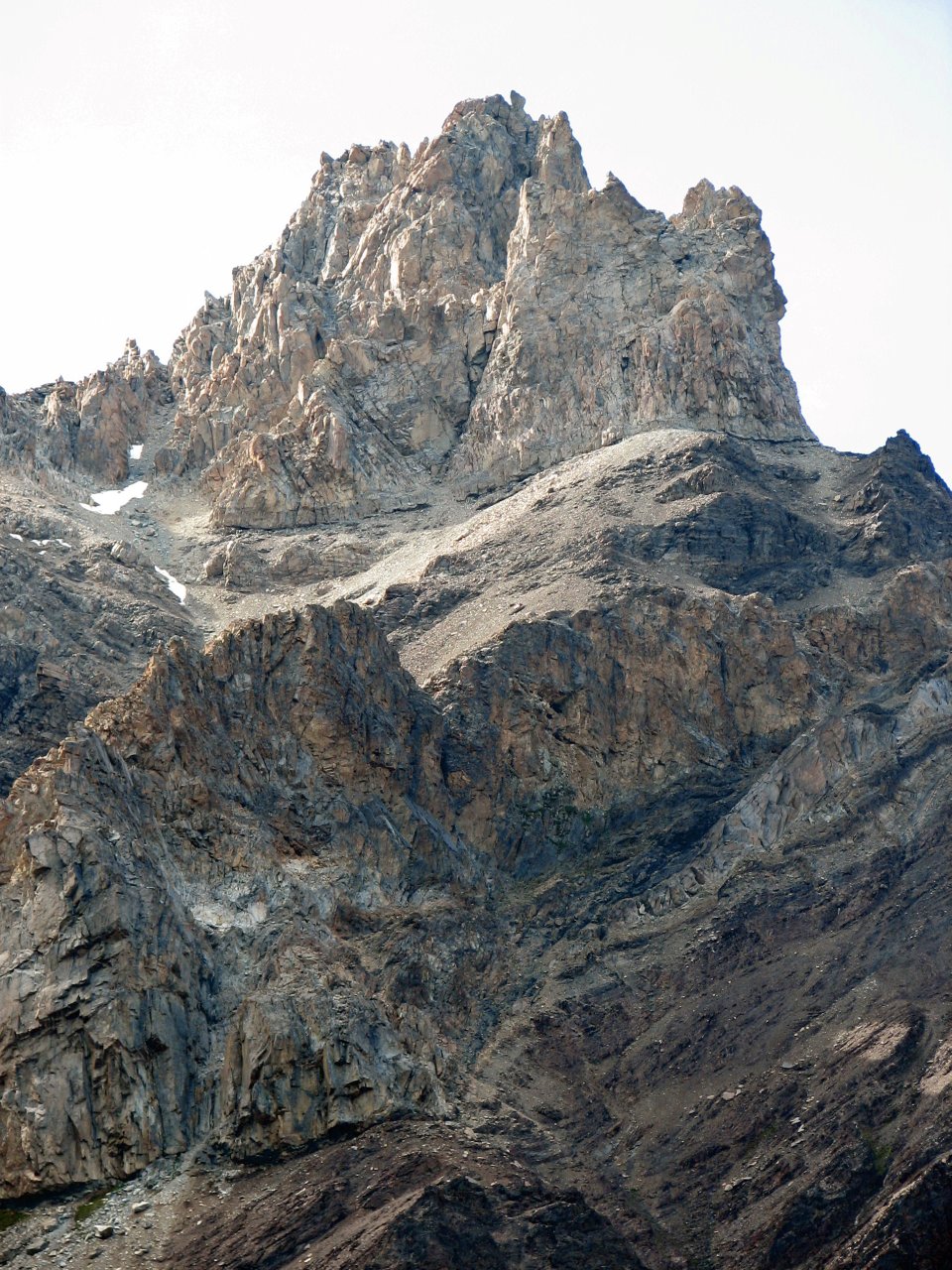
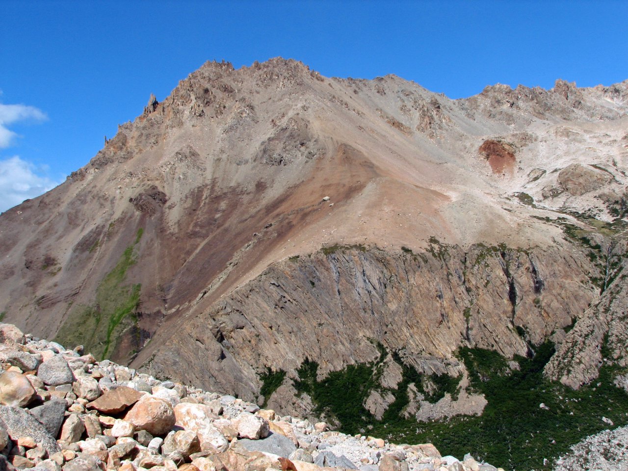
| Hard, jagged rocks on peaks around us |
Time to return the same way, turning to El Chalten at the opening on the left |
El Chalten town welcomes us back in late afternoon |
|
Day 2 El Chalten - Fitzroy Mirador - El Chalten |
 Daily map |
||
|
Trekking time: Trekking distance: |
3 hours 10 km |
Light backpacks
|
|
The second day in El Chalten it was raining. It started at night, and it drizzled down on us until noon. We waited it out, taking a rest from the day before. In the afternoon, we decided to make a short trip to the Fitzroy viewpoint, not too far away from El Chalten, and on the same trail we would be taking the next day on the main trek to the Fitzroy basecamp.
 |
 |
 |
 |
 |
| Just outside El Chalten, we meet a rabbit |
A short break, some are swinging around, others evaluating a training climbing wall |
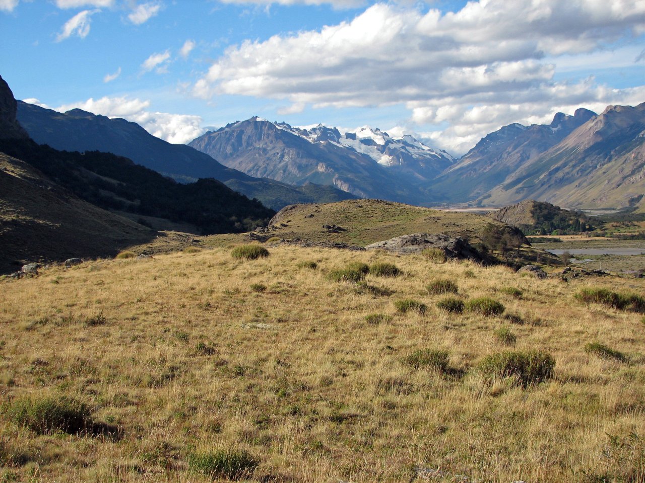
A river valley that stretches up north of El Chalten |
||
 |
 |
 |
 |
 |
| Heavy clouds still indicate recent rain |
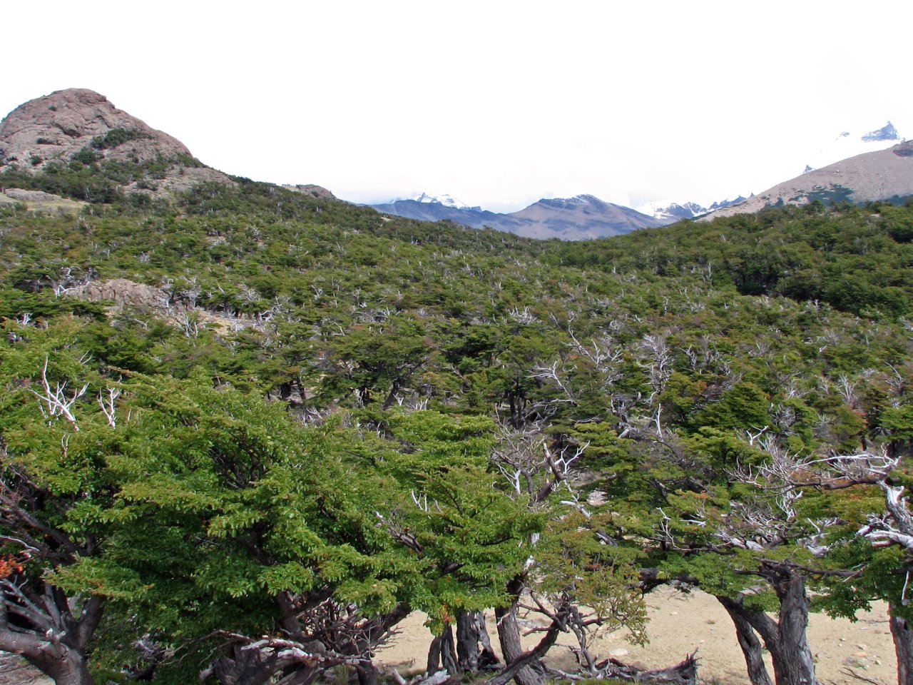
Terrain here is covered with small, bushy trees | Goal for the day, Fitzroy viewpoint at Laguna Capri. Fitzroy is hiding in clouds. |
We see these ones around a lot |
|
 |
 |
 |
 |
 |
| On return to El Chalten clouds show signs of improvement |
In the evening, I go exploring El Chalten a bit, trying to get to know the city better. | |||
 |
 |
 |
 |
 |
| There is a school, wide gravel roads, and lots of small hotels, hostels, shops, restaurants,... | ||||
 |
| In the evening, Fitzroy did clear up a bit, promising a better view tomorrow |
The day was concluded with a home cooked dinner at the hostel's open kitchen; a vegetable soup, pasta, and lots of pancakes.
|
Day 3 El Chalten - Fitzroy basecamp - El Chalten |
 Daily map |
||
|
Trekking time: Trekking distance: |
7 hours 24 km |
Light backpacks
|
|
The main event in Los Glaciares came up; we are going to Fitzroy base camp, no matter what the weather is, as we are running out of time. It's the last full day in El Chalten, and we're hoping for a clear view on the famous peak from up close. The trek to the basecamp and back is a long one, and it took us the whole day.
 |
 |
 |
 |
 |
| Boldly on the way to the north side of El Chalten in the morning |
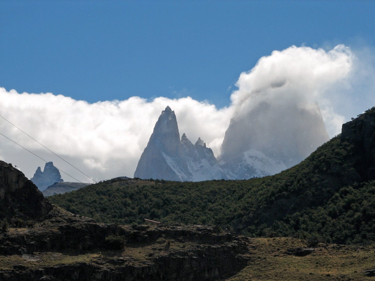
Mt. Fitzroy is kind of cooperating, just a puff of cloud around the peak |
Following the same trail as yesterday, we reach camping site Capri |
Moving past Laguna Capri | |
 |
 |
 |
 |
| Heavy winds start blowing, spraying some raindrops from clouds around the peaks, and I'm having increasingly more problems keeping my camera lenses clean |
|||
 |
 |
 |
 |
 |
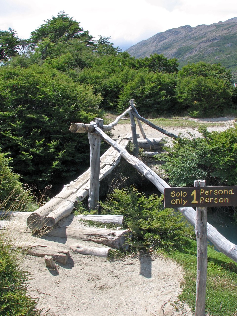
| Improvised crossing |
Strong wind envelopes Fitzroy with clouds |
Getting across mountain river |
Camping site Poincenot is in the woods |
Crossing a river behind Poincenot, you don't want to slip here |
 |
 |
 |
 |
 |
| A spring at camp Rio Blanco, before the final assault uphill |
For the last hour, the trail gets very steep, gaining in height about 400m in short distance |
Almost at the top. Wind throughout the ascent is furious, gusts stopping you in track |
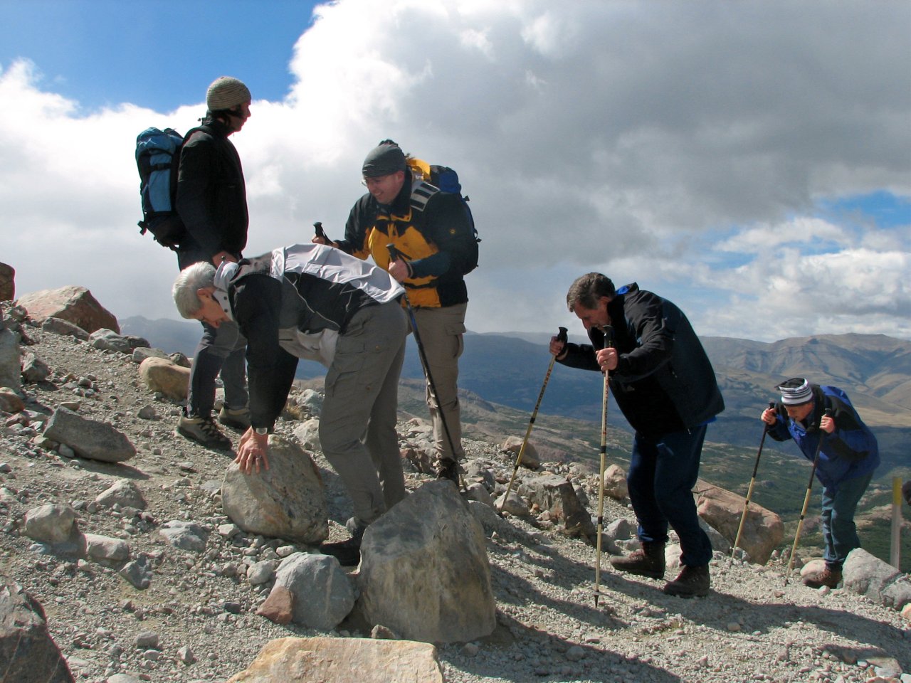
At the top, the wind gets outright dangerous, throwing people off their feet |
|
There on the top, that was the kind of wind that has to be experienced. As many as three members of our group have lost their glasses, as they were literally blown away off their faces. There was an Italian guy asking around about binoculars, last seen flying, and a group of elderly German tourists on all four, struggling not to go flying themselves. Finding some sort of a shelter behind any larger rock was a necessity.
 |
 |
 |
 |
 |
| Reaching destination | Several shots of the glacier and a small lake under Mt. Fitzroy while snuggled behind a large boulder | |||
 |
 |
 |
 |
 |
| If loosing balance due to the wind, landing would have been down there |
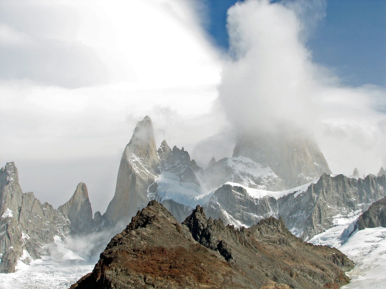
Some peaks were visible... |
...but Fitzroy itself was hiding | ||
 |
 |
 |
 |
 |
| On the western side high winds have cleared the sky |
Defying wind, having a snack |
Rain drops carried by the wind created a rainbow |
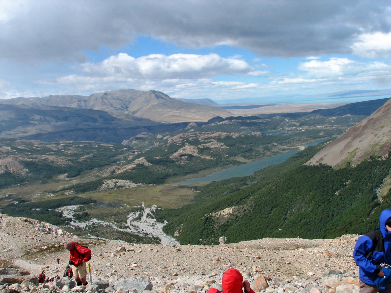
A view towards El Chalten, the town hiding just behind the shadowy ridge |
|
 |
 |
 |
 |
 |
| Time to go back | The trail marked with yellow sticks goes steeply down, right to the river |
Back at the bottom, a well maintained trail by the Poincenot camp |
This valley is directly downwind from Fitzroy, perhaps worth a visit... |
|
 |
 |
 |
 |
 |
| Crossing the river again, carefully over the narrow bridge |
Dusty trail passes through some wild, seemingly abandoned scenery |
|||
 |
 |
 |
 |
 |
| The last view on the northern valley |
A lone house buried in a small forest... |
...and a lone tree by the trail... |
... while crossing open space |
Just making photos for the sake of it |
 |
 |
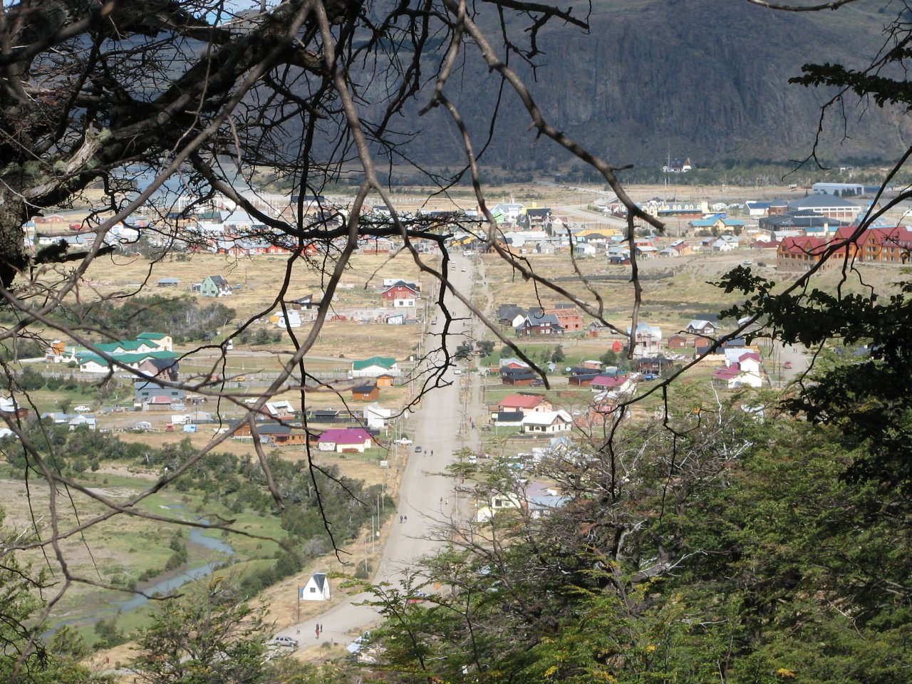
 |
| El Chalten welcomes us back through the trees from down below |
One final descent... | ...and we are back in the town |
|
Day 4 El Chalten - A picnic trek - El Chalten |
 Daily map |
||
|
Trekking time: Trekking distance: |
2 hours 4 km |
Light backpacks
|
|
The last day in El Chalten, we were taking a bus back to El Calafate in the afternoon. After packing up and preparing our luggage for the trip, we decided to go out for a couple of hours on the last trek in Patagonia.
 |
 |
 |
 |
 |
 |
 |
 |
 |
 |
| Before breakfast, I went outside the city past the park rangers' Gendarneria in order to shoot some photographs of Mt. Fitzroy in the morning light, weather conditions were rather favorable |
||||
 |
 |
 |
 |
 |
| Getting ready for the last trek |
Fitzroy was clear, but clouds were gathering |
The park is full of small streams |
We are going just an hour or so out of the city, on the southern trail |
|
 |
 |
 |
 |
 |
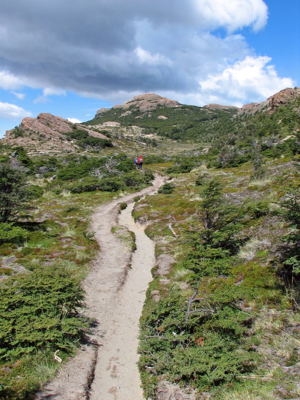
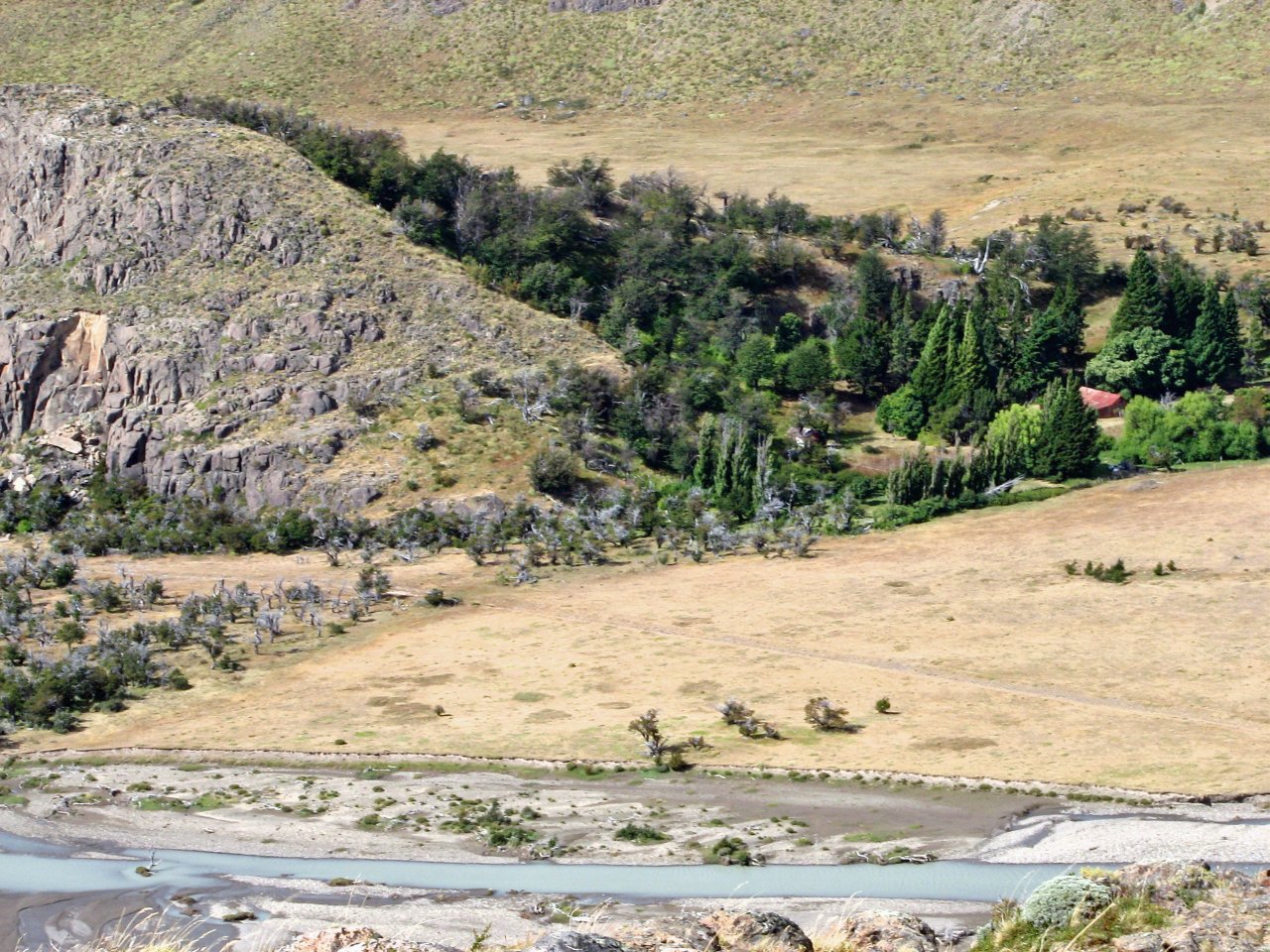
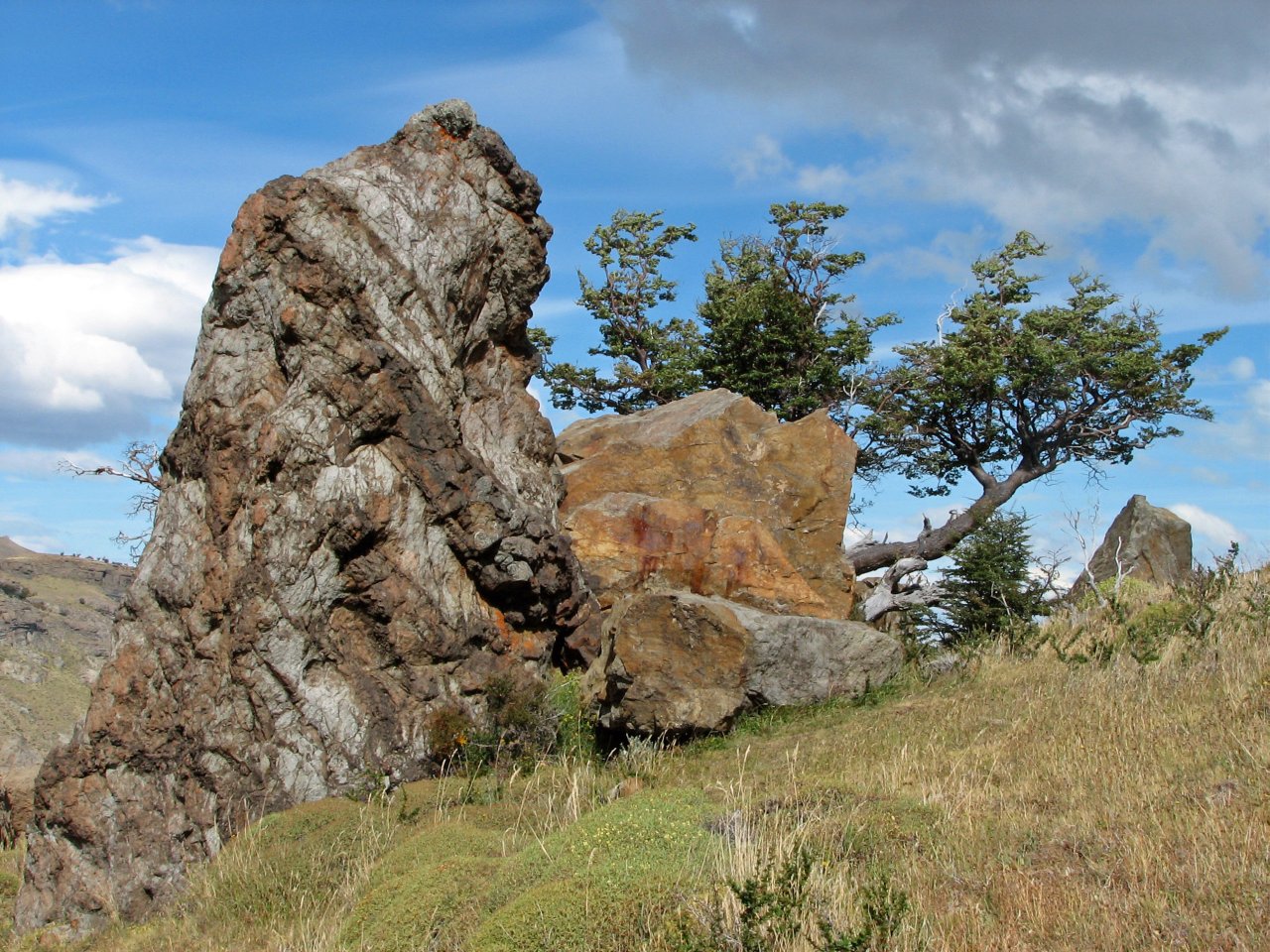
| Now that's one interesting rock... | El Chalten and the northern valley, viewed from the southern hills |
We stopped at a small forest on the top before turning back |
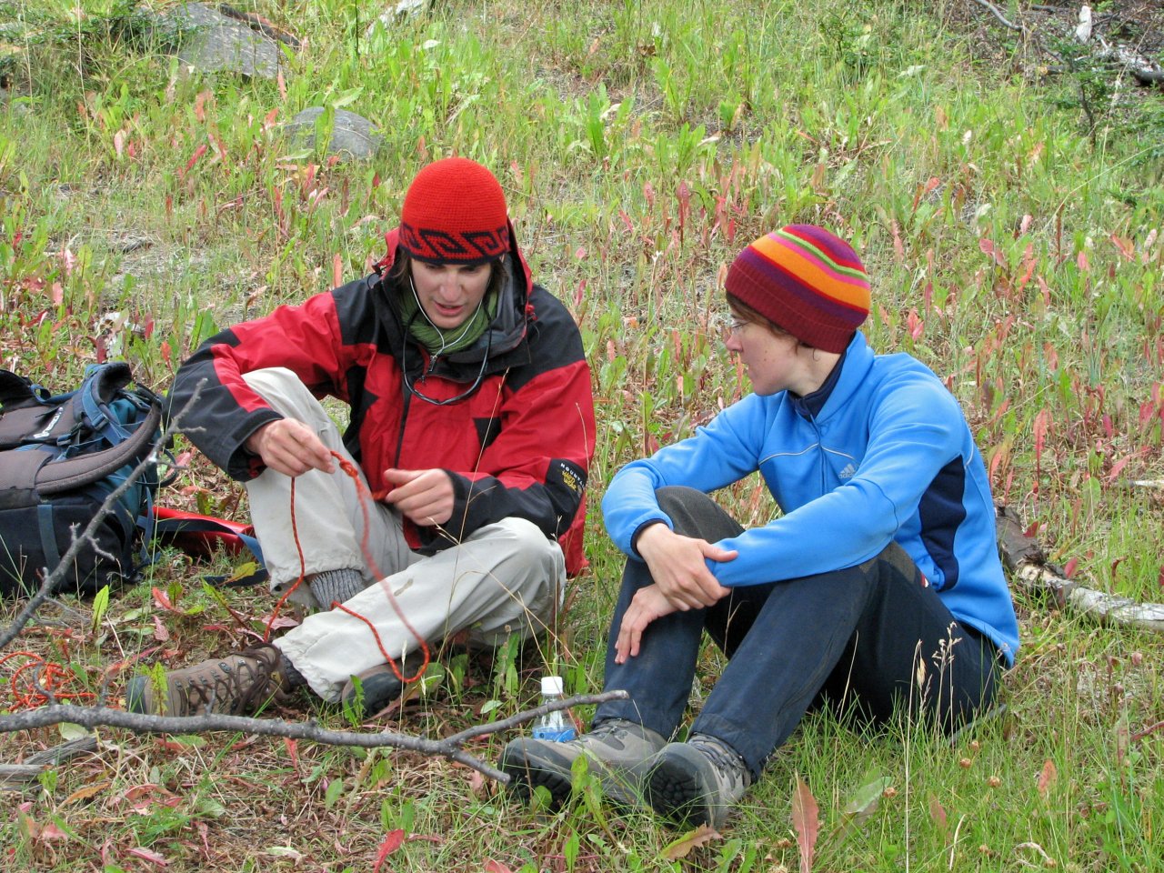
Tying knots 101 | |
The weather turned bad and it looked like it would start raining any second, so we had picked up the pace and returned to the town.
Next page: Buenos Aires